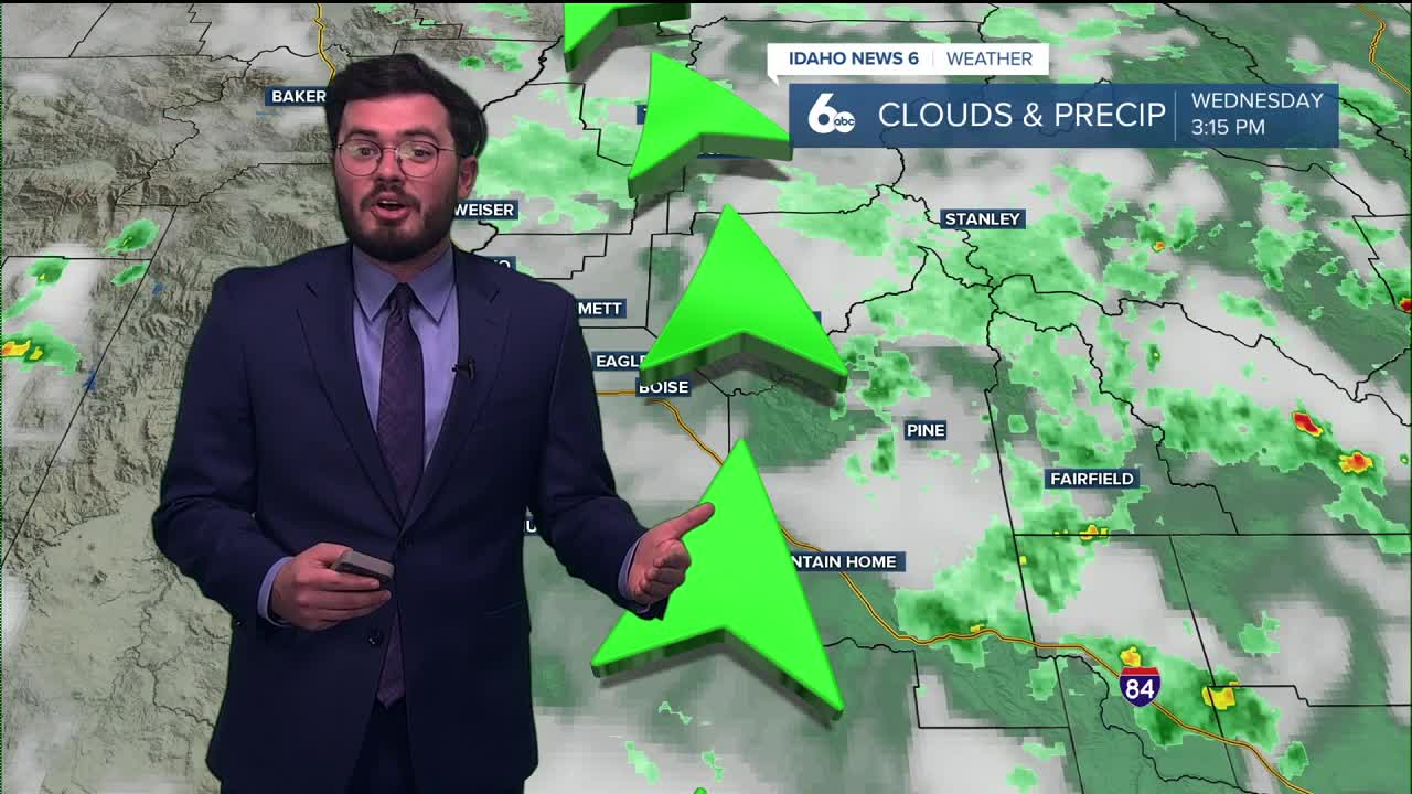


Idaho has see a lot of moisture over the last couple of days. Does that mean more showers going into the weekend? Here is your forecast.
Showers have doused the Gem state bringing thunderstorms and plenty of rain. Some areas in the mountains seeing nearly three inches in the last 24 hours. Skies going into Thursday are set to be a bit dryer and that trend will follow into the weekend.

Clear skies and warmer temperatures lead us into the holiday so get your plans ready for the extra time off. August closes out with nice Summer like conditions but not to hot so enjoy!
Thursday
Mostly sunny & warmer, with a high near 86. Light wind.
Friday
Sunny & very pleasant, with a high near 88. Light wind.
Friday Night
Mostly clear, with a low around 61.
Saturday
Sunny and hot, with a high near 90.
Saturday Night
Mostly clear, with a low around 64.
Sunday
Sunny and hot, with a high near 93.
Sunday Night
Mostly clear, with a low around 64.
Monay
Sunny and hot, with a high near 90.
Tuesday
Sunny and hot, with a high near 90.
Wednesday
Sunny, with a high near 89.