One more night of poor conditions
The Treasure Valley will endure one more night of valley inversion, air stagnation, low clouds, and patchy fog before significant relief arrives Friday morning. A dry cold front moving in from the north Friday morning will be followed by colder air aloft that should finally end the persistent inversion Friday afternoon.
High-resolution weather models show the possibility of more stratus clouds developing briefly Friday evening, but continued drying from the north will clear these clouds later Friday night, marking the end of the extended poor weather period.
Weekend weather brings dramatic change - Saturday conditions
Saturday will feature a stark contrast to recent weather, with sunny, breezy, and cold conditions expected across most of the region, especially at higher elevations. However, the Magic Valley may remain mostly cloudy as convergence from the west and east could produce flurries in that area.
Saturday night will bring clear skies, calming winds, and quite cold temperatures everywhere as high pressure establishes control.
Temperature recovery begins
After more than a week of valley temperatures struggling to reach the low 30s, Friday will see highs climb to around 37 degrees as the inversion breaks. Saturday will be cooler at 33 degrees due to the cold air mass, but Sunday will begin the warming trend with highs near 38 degrees.
Next week outlook brings mixed signals - Early week pattern
The main upper ridge will rebuild along the coast Sunday, bringing warming again at higher elevations and potentially starting another inversion Sunday night through Monday. However, any new inversion is expected to be much weaker and shorter-lived than the recent extended event.
Monday will see partly sunny skies with highs climbing to around 40 degrees as conditions continue improving.
Mid-week uncertainty
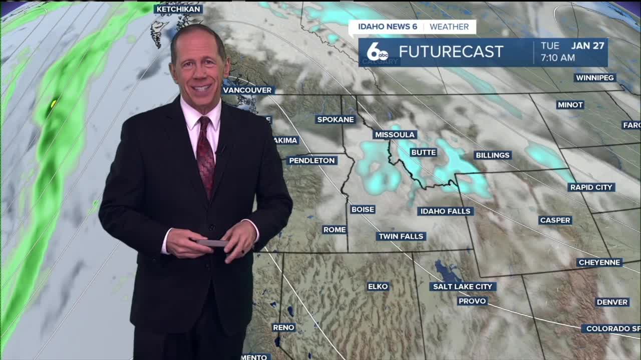
Weather models show a weakening Pacific shortwave trough moving through the ridge and inland Tuesday, bringing a 20 to 30% chance of snow in northern zones Wednesday. This would be followed by a stronger trough with a 30 to 50% chance of snow Thursday, again primarily affecting northern zones.
However, forecasters note that models have not verified well in the longer time ranges recently, so confidence in these mid-week precipitation chances remains low.
Daily forecast breakdown
Thursday night Cloudy conditions with a low around 26 degrees. Light west-northwest winds.
Friday Mostly cloudy, then gradually becoming sunny with a high near 37 degrees. Light west winds becoming northwest 5 to 10 mph in the morning as the cold front arrives.
Friday night Mostly clear skies with a low around 22 degrees. Northwest winds around 6 mph becoming light and variable in the evening.
Saturday Sunny conditions with a high near 33 degrees. Calm winds becoming northwest 5 to 9 mph in the afternoon. Magic Valley may see flurries due to convergence.
Saturday night Mostly clear skies with a low around 21 degrees. West-northwest winds 5 to 8 mph becoming calm in the evening.
Sunday Sunny skies with a high near 38 degrees as the warming trend begins.
Sunday night Partly cloudy conditions with a low around 24 degrees as the ridge rebuilds and potential inversion conditions return.
Monday Partly sunny skies with a high near 40 degrees as temperatures continue recovering.
Monday night Mostly cloudy conditions with a low around 26 degrees.
Tuesday Mostly sunny skies with a high near 43 degrees as the Pacific shortwave approaches.
Tuesday night Mostly cloudy conditions with a low around 29 degrees as weather patterns begin shifting.
Wednesday Mostly cloudy skies with a high near 44 degrees. 20-30% chance of snow in northern zones.
Wednesday night Mostly cloudy conditions with a low around 32 degrees as the stronger trough approaches.
Thursday Mostly cloudy skies with a high near 47 degrees. 30-50% chance of snow in northern zones.


