

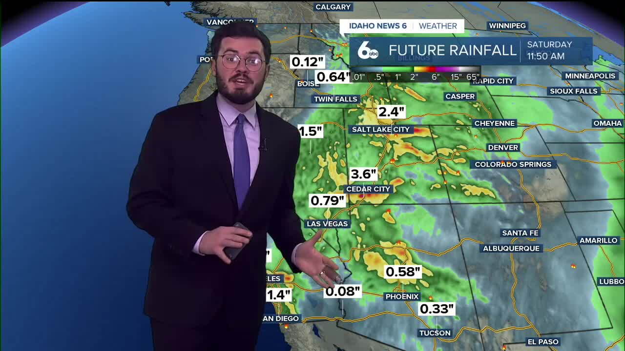


After extended warm weather here in the Gem State, a cold front has dropped our temperatures, and now parts of Idaho will see rain from Hurricane Rachel.
We sat dry and warm for weeks, and now our forecast is shifting towards average conditions. This week we trended 10-20 degrees above normal, but a large system has brought in cooler weather over all of Idaho. Temperatures are going from upper 80s to low 60s, and even cooler weather is expected on Sunday.
Though the cool down is a big part of the forecast, a huge surge of tropical moisture is about to make its way into eastern Idaho. East of Twin Falls and south of Montana is under a flood watch through Monday afternoon as precipitation from Hurricane Rachel moves across the western United States and north through part of our state, into Montana, and dying out into parts of Canada.
You'd think the fall conditions would stick around, but our extended outlook has us once again trending drier and warmer than normal. Next weekend, valley floors are expected to return to the 70s, and clear skies come along with it too. Moving further into the season, it will be interesting to watch if this trend of large bursts of rain and big cold fronts will continue on, or if El Niño will have us drier and warmer for another year.
Enjoy your weekend, Magic Valley and eastern Idaho! Try to stay dry, as a lot of rain is headed your way.
