

Tonight
Clear, with a low around 66. Northwest wind around 6 mph becoming light and variable.
Tuesday
Sunny and hot, with a high near 103. Calm wind becoming south southeast around 6 mph in the afternoon.
Wednesday
A 20 percent chance of showers and thunderstorms after noon. Sunny and hot, with a high near 96. Locally breezy afternoon winds.
Wednesday Night
A 20 percent chance of showers and thunderstorms before midnight. Mostly clear, with a low around 62. Northwest wind 6 to 10 mph, with gusts as high as 21 mph.
Thursday
Sunny & pleasant, with a high near 88.
Friday
Sunny and hot, with a high near 92.
Friday Night
Clear, with a low around 61.
Saturday
Sunny and hot, with a high near 97.
Saturday Night
Clear, with a low around 64.
Sunday
Sunny and hot, with a high near 98.
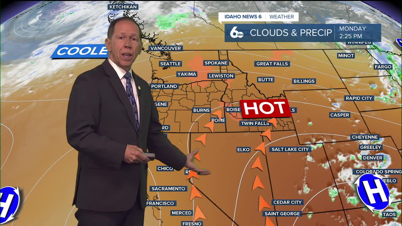
Monday
Sunny and hot, with a high near 101.