

An upper ridge will maintain dry and seasonable conditions through Wednesday before a low-pressure system approaching the California coast brings the potential for mixed precipitation on New Year's Day, including a slight chance of freezing rain in some areas.
Current Pattern: Ridge Maintains Stability
Little change is expected in the weather through Wednesday as the upper ridge keeps dry conditions locked in place. After a sunny start Wednesday, clouds will increase late in the day as the approaching storm system begins to influence the region. The temperature inversion will continue, keeping highs near normal in valleys while mountains experience temperatures around 10 degrees above normal through Thursday.
New Year's Day: Mixed Precipitation Possible
Light precipitation will develop along the northern Nevada border Wednesday night, spreading northward Thursday. With cold air still trapped across lower elevations of southeast Oregon and along the Idaho-Oregon border, precipitation could start as snow or a wintry mix in these locations.
Snow levels will start between 3,000 to 5,000 feet for east-central Oregon and west-central Idaho mountains Thursday, rising to between 6,000 to 8,000 feet Thursday night.
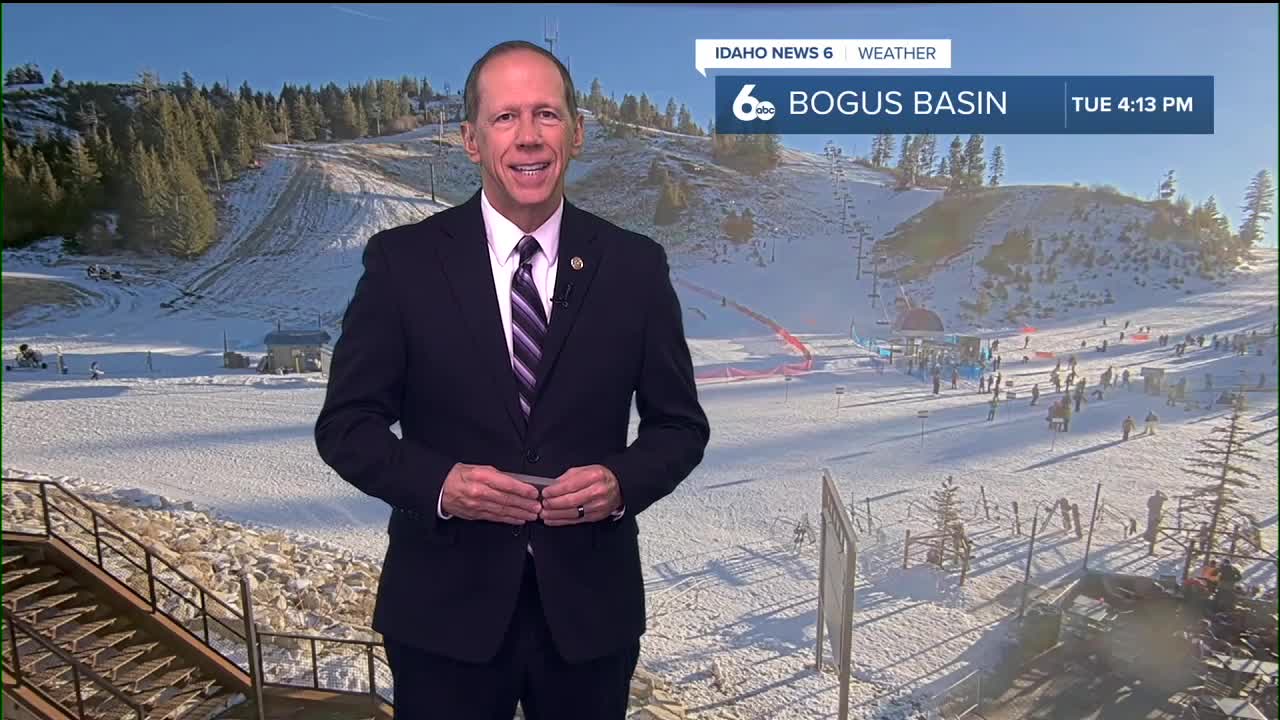
Mountain Snow Conditions for Ski Areas
Mountains below 6,000 feet and interior mountain valleys will see light snow accumulations through Thursday evening, with higher amounts of 1 to 3 inches limited to elevations above 6,000 feet. As snow levels rise Thursday night to 6,000 to 8,000 feet, lower elevation ski areas may see a transition from snow to rain.
Friday will bring lingering moisture with snow levels at approximately 7,000 feet, meaning most ski areas will experience rain at base elevations while upper mountain areas may still receive snow.
Weekend Pattern: Multiple Systems Approach
A large, cold cut-off low along the west coast will begin shifting inland Friday, enhancing southwesterly flow aloft and amplifying a ridge over the Northern Rockies. This will temporarily reduce precipitation chances while pushing daytime temperatures to 15 degrees above normal for most areas.
The trough will progress northeastward over the weekend, increasing precipitation chances area-wide Saturday. Snow levels will gradually lower to 5,000 to 6,000 feet Saturday and to 4,000 to 5,000 feet by Saturday night, providing better snow conditions for ski areas.
Extended Outlook: Continued Unsettled Weather
More troughs are forecast to arrive Sunday and into early next week, spreading additional rounds of precipitation across the area. These systems will reinforce southwesterly flow with enhanced orographic lift for the mountains, but will create shadowing effects for many valleys. This means enhanced precipitation in the mountains and much less in the Treasure Valley.
The presence of these troughs will lower temperatures a few degrees Saturday, with additional cooling Sunday and Monday. Weather models show less agreement late Monday and Tuesday, leading to greater uncertainty in temperatures and precipitation timing, though continued unsettled conditions are expected.
Daily Forecast:
Tuesday Night: Increasing clouds, with a low around 25. Calm wind.
Wednesday: Partly sunny, with a high near 43. Light and variable wind.
Wednesday Night: Mostly cloudy, with a low around 30. Calm wind.
Thursday: A 50% chance of rain. Cloudy, with a high near 45. Light ESE wind.
Thursday Night: Rain likely. Patchy fog after 5 a.m. Otherwise, cloudy, with a low around 40. Calm wind. Chance of precipitation is 70%.
Friday: A 40% chance of rain before 11 a.m. Patchy fog before 8 a.m. Otherwise, mostly cloudy & unseasonably mild, with a high near 54.
Friday Night: A 20% chance of rain after 11 p.m. Mostly cloudy, with a low around 41.
Saturday: A 30% chance of rain. Mostly cloudy & continued very mild, with a high near 52.
Saturday Night: A 20% chance of rain. Mostly cloudy, with a low around 36.
Sunday: A 20% chance of rain. Mostly cloudy, with a high near 49.
Sunday Night: A 20% chance of rain. Mostly cloudy, with a low around 34.
Monday: A 20% chance of rain. Partly sunny, with a high near 48.
Monday Night: A 20% chance of rain. Mostly cloudy, with a low around 34.
Tuesday: Mostly cloudy, with a high near 46.