

Dense fog is settling across the Treasure Valley as a high-pressure ridge creates stagnant atmospheric conditions that will persist through the weekend and into next week.
The National Weather Service has issued a dense fog advisory for the lower Treasure Valley, where patchy fog along the Snake River is expected to expand significantly over the coming days.

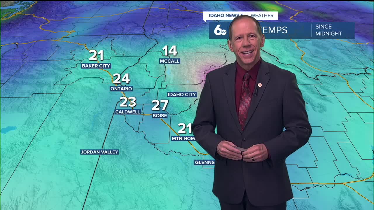
Current conditions and immediate forecast
The fog will dissipate briefly this afternoon before redeveloping after sunset and slowly expanding tonight into Thursday morning. Unlike typical morning fog that burns off quickly, this weather pattern will cause fog to expand each night over the next several days.
The lower Treasure Valley will likely remain cloudy and foggy, while the Upper Treasure Valley may experience fog at night with some improvement during daylight hours.
Temperature forecasts carry low confidence in valley areas, where persistent fog may keep high temperatures 10 to 15 degrees cooler than normal predictions.

What's causing the fog
A ridge of high pressure remains positioned over the area, creating stagnant conditions and temperature inversions. This atmospheric setup traps cool, moist air near the surface while warmer air sits above it, preventing the fog from lifting.
Over the next several days, the ridge will expand over western British Columbia, allowing cooler air to move into the region from the north and east, which may alter current fog patterns.

Extended outlook
Dry and stable conditions will continue through Tuesday due to the high-amplitude upper-level ridge over the Western United States. Strong and persistent inversions will maintain fog chances, especially in lower valleys throughout this period.
By late Tuesday into Wednesday, the ridge begins to weaken in strength. However, long-range forecasts suggest a significant pattern change with a shortwave trough and precipitation may not arrive until late next week.
Daily forecast breakdown
Wednesday Night: Areas of fog with otherwise mostly clear skies. Low around 26 degrees with light and variable winds.

Thursday: Areas of fog before 11 a.m., then mostly sunny with a high near 42 degrees. Light and variable winds.
Thursday night: Areas of fog developing after 8 p.m., otherwise mostly clear with a low around 26 degrees.
Friday: Areas of fog before 8 a.m., then sunny with a high near 44 degrees. Light wind.
Weekend and beyond: Fog chances continue each morning through Saturday, with sunny afternoons and highs climbing into the mid-40s. The pattern remains consistent through Monday with morning fog possibilities and afternoon sunshine.
Stay connected right here for updates.