

The National Weather Service has issued another Dense Fog Advisory for the Treasure Valley and Magic Valley, effective late tonight through Saturday morning, as persistent weather patterns continue to create hazardous driving conditions across southern Idaho.
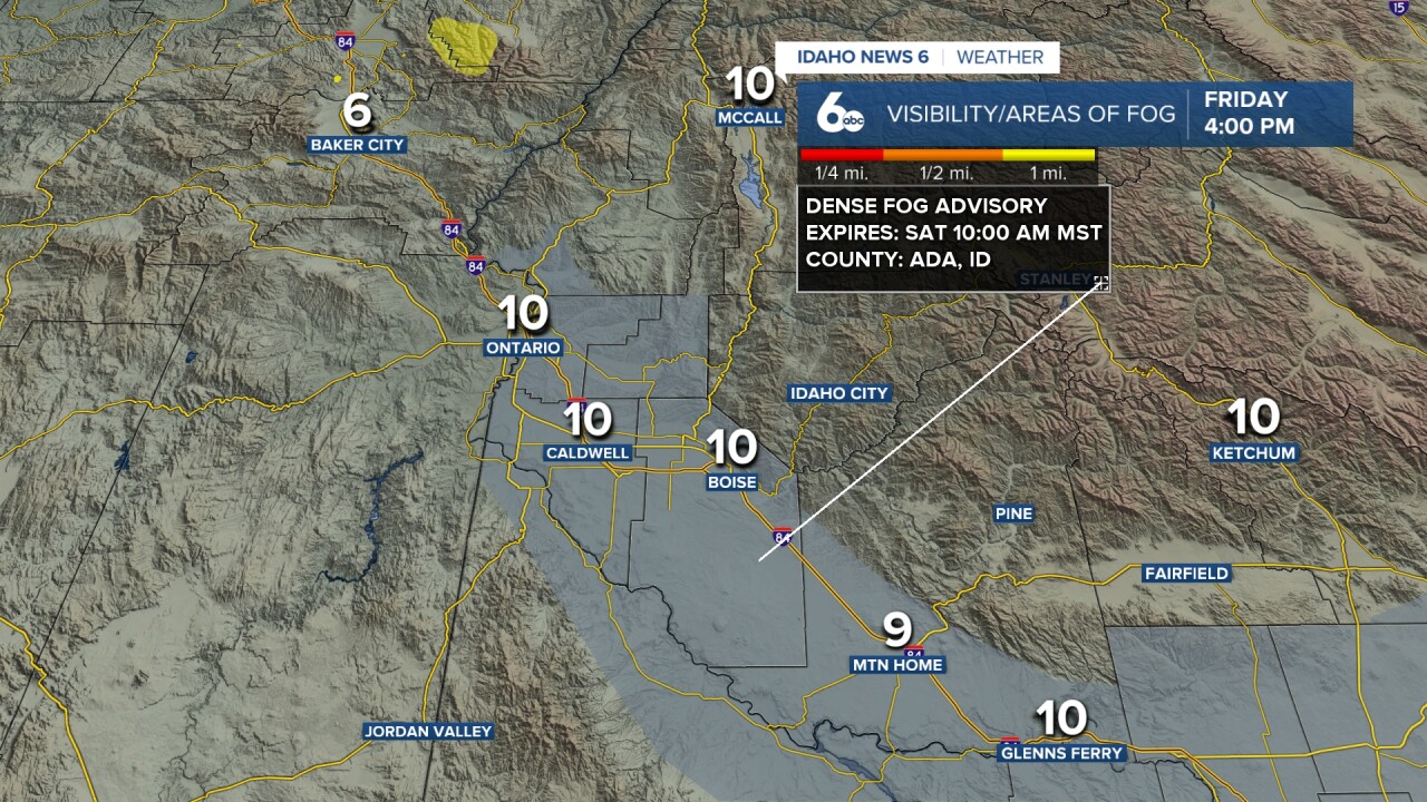
The advisory takes effect after 8 p.m. tonight, with patchy dense fog expected to develop and persist until around 10 a.m. Saturday. Visibility could drop to less than a quarter mile in some areas, making travel dangerous during the overnight and early morning hours. Flight delays and cancellations may occur again Saturday morning.
"Little day to day change is expected through Sunday in temperature, wind, humidity, or sky cover," according to the National Weather Service forecast discussion. Officials warn that another advisory may be needed Saturday night through Sunday morning as the stagnant weather pattern continues.
Tonight's low temperature will drop to around 34 degrees with calm winds, creating ideal conditions for fog formation. Saturday will see areas of dense fog clearing by 10 a.m., followed by mostly sunny skies and a high near 49 degrees.
The persistent fog pattern is expected to continue through the weekend, with similar conditions forecast for Saturday night and Sunday morning. Areas of fog are predicted to develop after 11 p.m. Saturday and persist until around 8 a.m. Sunday.
Weather conditions will begin to change Sunday night as a cold front approaches from the northwest. The system will bring increasing clouds and improved low-level mixing, which should help break up the fog pattern that has plagued the region.
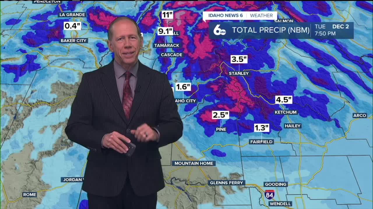
Looking ahead to next week, a broad Alaskan low pressure system will move across Canada and the Northern Rockies Monday through Tuesday, bringing stronger northwesterly winds that should help clear any lingering fog from the weekend. The cold front will also drop temperatures to near normal levels and bring a chance of precipitation to higher elevations.
Drivers are urged to use extreme caution during foggy conditions, reduce speed, use low-beam headlights, and maintain extra following distance. The Idaho Transportation Department recommends avoiding travel during the heaviest fog periods if possible.
Tonight
Patchy dense fog after 8pm. Otherwise, partly cloudy, with a low around 34. Calm wind.
Saturday
Areas of dense fog before 10am. Otherwise, mostly sunny, with a high near 49. Calm wind becoming south around 5 mph.
Saturday Night
Areas of fog after 11pm. Otherwise, mostly clear, with a low around 34. Calm wind.
Sunday
Areas of fog before 8am. Otherwise, mostly sunny, with a high near 49. Calm wind.
Sunday Night
Patchy fog after 8pm. Otherwise, mostly cloudy, with a low around 33. Calm wind becoming west northwest around 6 mph after midnight.
Monday
Patchy fog before 8am. Otherwise, mostly sunny, with a high near 46.
Monday Night
Partly cloudy, with a low around 26.
Tuesday
Mostly sunny, with a high near 44.
Tuesday Night
A slight chance of rain and snow after 11pm. Mostly cloudy, with a low around 31. Chance of precipitation is 20%.
Wednesday
A 40 percent chance of rain. Mostly cloudy, with a high near 47.
Wednesday Night
A 30 percent chance of rain. Mostly cloudy, with a low around 36.
Thanksgiving Day
A 20 percent chance of rain. Mostly cloudy, with a high near 51.
Thursday Night
A 20 percent chance of rain. Mostly cloudy, with a low around 36.
Friday
A 30 percent chance of rain. Partly sunny, with a high near 50.