

A cold front moving through tonight into Saturday morning will bring scattered snow showers and drop snow levels to valley floors, followed by a prolonged high pressure pattern that will create fog and air quality concerns across Idaho valleys.

Tonight Through Saturday: Cold Front and Mountain Snow
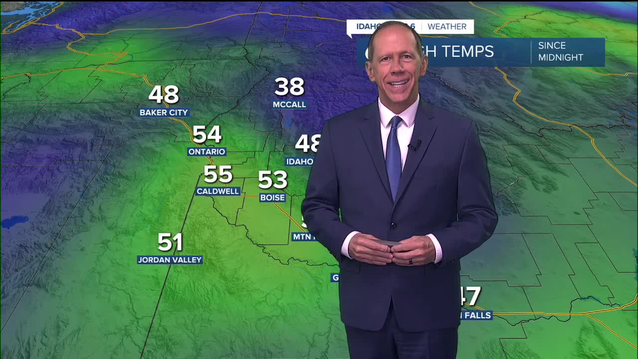
A brief lull in precipitation continues this afternoon from Boise to Rome, Oregon, with mostly clear skies through late afternoon. However, clouds are increasing in central and eastern Oregon ahead of the next cold front, with snow already developing at Burns, Oregon.
The cold front will move through late this evening into Saturday morning, bringing scattered snow showers as snow levels fall to valley floors. Precipitation amounts will be light with this system, resulting in minimal snow accumulations below 5,000 feet.
Above 5,000 feet, snow accumulations of 4 to 7 inches are possible, with locally higher amounts on the peaks where a winter weather advisory remains in effect. Snow amounts will be highly variable due to the showery nature of the precipitation.

Mountain Snow Conditions for Ski Areas
The approaching cold front will bring beneficial snowfall to Idaho's ski areas, especially Tamarack and Brundage Resorts wher 4 to 7 inches are possible above 5,000 feet and locally higher amounts on the peaks. Bogus Basin should still see 2"-4" which will help but certainly not erase a very lean start to the ski season. Heavier bands of snow are possible over the west-central Idaho mountains early Saturday morning into the afternoon, though the best dynamics for heavy snow showers will generally be over the central Idaho panhandle mountains.

Saturday: Windy and Cooler Conditions
High temperatures Saturday will be around 10 degrees cooler than Friday. Breezy west-northwest winds will follow the front, with gusts of 25 mph in the valley during Saturday afternoon.
Saturday will see a 40% chance of morning snow showers with mostly cloudy skies gradually becoming sunny and a high near 39 degrees. Little or no snow accumulation is expected in valley locations.
Sunday: Transition to Stagnant Pattern
Sunday will be mostly sunny and dry with stagnant conditions developing as upper-level winds weaken. This marks the beginning of a significant weather pattern change that will dominate the coming week.
Extended Outlook: High Pressure and Inversion Pattern
Dry conditions will persist throughout the coming week as ridging builds above a low over the Pacific. This blocking pattern will allow prolonged high pressure over the region, resulting in strong valley inversions due to upper-level subsidence and the low sun angle typical of this time of year.
With plenty of surface moisture available and a favorable weather pattern, fog and low stratus will be a daily concern, along with decreasing air quality below the inversion layer. The fog and low clouds may cause daytime highs to be lower than forecast due to reduced surface heating, while morning low temperatures may be warmer than expected as cloud cover reduces overnight cooling.

Pattern Change Expected Late Week
The first signs of a pattern change will come late next week, with increasing agreement among weather models for a trough moving down from the Gulf of Alaska late Thursday into early Friday. This system will work to lift the inversion and increase mixing in the atmosphere.
Precipitation chances will increase Thursday afternoon through Friday area-wide as the trough moves ashore, potentially ending the prolonged high-pressure pattern.

Daily Forecast:
Friday night: Rain likely before 2 a.m., then rain and snow likely. Mostly cloudy, with a low around 34. SSE wind 5 to 9 mph becoming west NW after midnight. Winds could gust as high as 20 mph. Chance of precipitation is 60%. Little or no snow accumulation expected.
Saturday: A 40% chance of snow in the morning, then gradually becoming sunny, with a high near 39. WNW wind 9 to 14 mph, with gusts as high as 25 mph. Little or no snow accumulation expected.
Saturday Night: Mostly clear, with a low around 23. Northwest wind 5 to 10 mph becoming light north northwest in the evening.
Sunday: Mostly sunny, with a high near 35. Light northwest wind.
Sunday Night: Mostly clear, with a low around 21.
Monday: Sunny, with a high near 37.
Monday Night: Partly cloudy, with a low around 23.
Tuesday: Partly sunny, with a high near 40.
Tuesday Night: Partly cloudy, with a low around 23.
Wednesday: Mostly sunny, with a high near 42.
Wednesday Night: Mostly cloudy, with a low around 27.
Thursday: Mostly cloudy, with a high near 45.
Thursday Night: A chance of rain and snow. Mostly cloudy, with a low around 31. Chance of precipitation is 30%.
Friday: A chance of rain and snow. Mostly cloudy, with a high near 46.
Stay connected right here for updates to my extended forecast!