


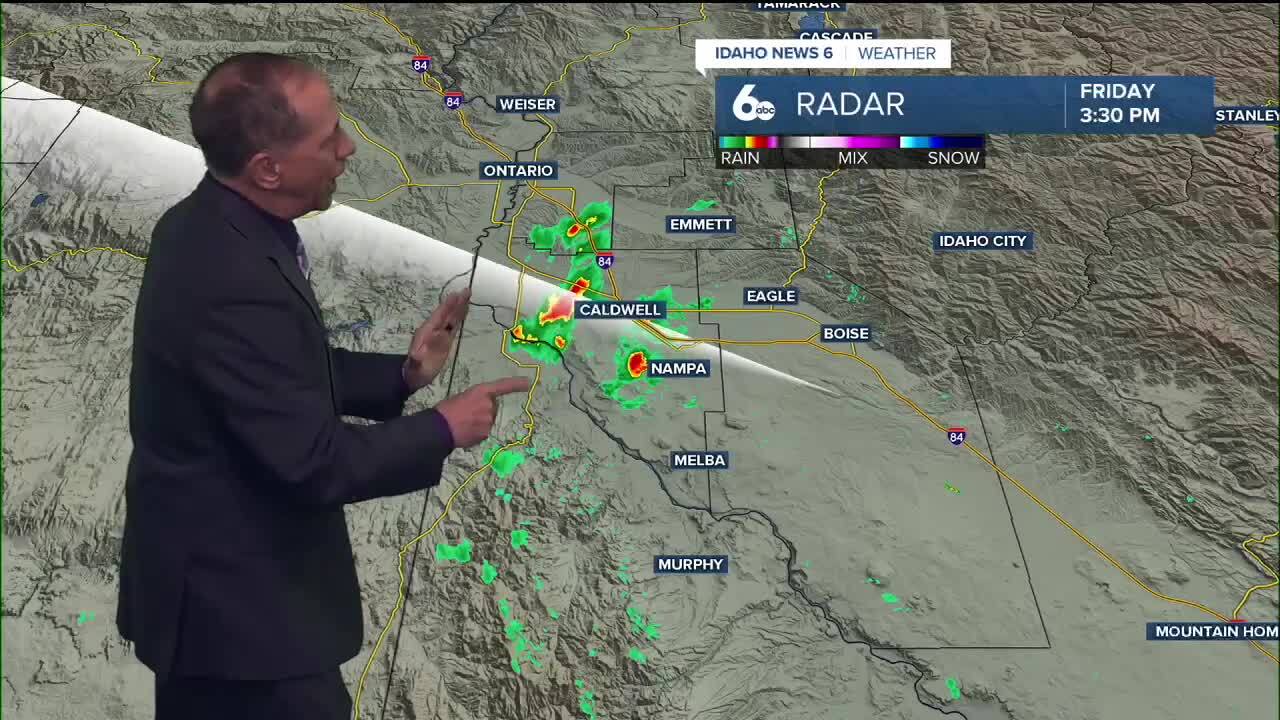
Some showers and even storms have popped up across parts of western Idaho Friday evening. They could affect your evening plans as they continue to race north into the central mountains.
You can track any showers with our interactive Doppler Radar
A cold front is moving across southeast Oregon and southwest Idaho tonight, bringing the first significant weather change we've seen in days. This system will completely flip our weather pattern from warm and dry to cool and unsettled.
Tonight's weather brings the change
Showers and thunderstorms will continue tonight as the cold front advances through the region. The front is expected to move through southeast Oregon by early evening, then slow down as it reaches the Western Magic Valley around midnight.
Gusty outflow winds remain a threat through sunset at lower elevations, with even higher gusts possible above mountain valley floors as the cold front passes. Once the front moves through, winds will shift to west-northwest, though they'll be less intense than the current gusts.
Saturday's dramatic temperature drop
Saturday brings a continuation of showers across the region as the weather system tracks eastward. The big story will be the temperature drop - highs will run 15 to 25 degrees cooler than Friday, with the greatest cooling across southwest Idaho.
While Friday brought temperatures in the low 80s, Saturday will struggle to reach the low 60s in many valley locations. A minimal thunderstorm threat remains across the west-central Idaho mountains, where some afternoon instability may develop.
Winds will be lighter Saturday as the upper-level flow weakens, making conditions more manageable despite the cooler temperatures and shower chances.

Mountain snow arrives Saturday night
Snow levels won't begin falling significantly until Saturday and Saturday night as the core of cold air moves overhead. By Saturday night, snow levels across southeast Oregon and southwest Idaho will drop to between 5,000 and 6,000 feet.
This period brings the best chance for accumulating snow as a trailing system from British Columbia keeps 60 to 80% precipitation chances over the west-central Idaho mountains Saturday night.
The majority of accumulating snow will stay above 6,000 to 6,500 feet, where 1 to 3 inches is possible across Baker County, Steens Mountain, the Owyhees, and west-central Idaho mountains through midday Sunday.

Sunday brings the coolest temperatures
High temperatures drop even further Sunday, bottoming out around 10 degrees below normal. Valley locations will see highs in the mid to upper 50s, while mountain areas struggle to reach the low 40s.
This marks a dramatic shift from the 80-degree weather we enjoyed earlier in the week to some of the coolest conditions we've seen in months.

What this means for your weekend
If you have outdoor plans, Saturday morning offers the best window before showers become more widespread. especially in the higher elevations. Mountain recreation above 6,000 feet should be prepared for snow conditions Saturday night and Sunday.
Valley residents can expect cool, occasionally wet conditions that are perfect for light outdoor work that doesn't mind a few sprinkles.
Daily forecast
Tonight: Chance of showers and thunderstorms. Mostly cloudy, then clearing. Low around 48°. NW wind 10-15 mph with gusts up to 30 mph. 30% chance of showers.
Saturday: Mostly sunny with a slight chance of an afternoon shower. and a high near 62°. Light winds becoming NW 6-12 mph.
Saturday Night: 30% chance of showers after midnight. Partly cloudy with a low around 43°. WNW wind 5-10 mph.
Sunday: Partly sunny with a chance of showers from time to time and a high near 58°. Light wind.
Monday: Partly sunny & comfortable with a high near 67°.
Tuesday: 20% chance of showers. Partly sunny with a high near 66°.
Wednesday: 30% chance of showers. Partly sunny with a high near 65°.
Thursday: 30% chance of showers. Mostly sunny with a high near 64.
Friday: Mostly sunny & cool with a high near 61.
Stay connected right here or to my Facebook Page for updates to my weekend forecast!