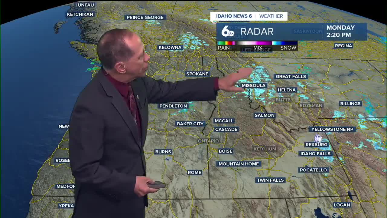


After this weekend's stormy weather, dry conditions have returned to the Treasure Valley and central Idaho as an upper ridge builds in from the coast, bringing the coldest temperatures of the season so far.
Monday night will mark the coldest night ahead, with a hard freeze possible across all areas as temperatures drop to around 31 degrees in the valley. The combination of clear skies and calm winds will allow temperatures to plummet after sunset.
This will be our first significant freeze of the season as the cold snap comes and high pressure dominates the weather pattern, ensuring dry conditions through Wednesday night.
Freeze warning implications
Monday night's hard freeze will likely end the growing season for most tender plants and vegetables across the Treasure Valley. Residents should take precautions to protect sensitive vegetation, outdoor plumbing, and pets.
The freeze will be most pronounced in rural and outlying areas where cold air can settle more effectively. Urban areas may stay slightly warmer due to the heat island effect, but temperatures will still drop well below freezing.
Clear skies and light winds will create ideal radiational cooling conditions, allowing temperatures to drop rapidly after sunset.
Mountain fog development expected
Recent precipitation from the weekend storm will contribute to fog development in sheltered mountain valleys tonight and Tuesday morning. However, easterly winds across open terrain will provide enough mixing to suppress fog and low cloud formation in most areas.
The fog will be most likely in protected valleys where cold air can pool and moisture from recent precipitation can condense. Drivers in mountain areas should be prepared for reduced visibility early Tuesday morning.
Temperature pattern ahead
Valley temperatures will be slower to respond to warming aloft and will remain below normal through Wednesday. Mountain locations will return to normal temperatures more quickly due to their elevation and exposure to upper-level warming.
Tuesday and Wednesday will see sunny skies with highs near 56 degrees - several degrees below the seasonal average for late October. An upper-level trough riding through the ridge will increase clouds Wednesday, but the area will remain dry as the system is deflected to the north.
Warming aloft will begin building an inversion as atmospheric mixing becomes limited by the late October sun angle. This pattern is typical for this time of year as the days grow shorter and the sun's heating becomes less effective.
Weekend weather changes
Looking ahead to the weekend, increasing cloud cover is expected Thursday as a deep Alaskan low generates an atmospheric river that will impact the Pacific Northwest and Canadian West Coast.
The Treasure Valley and central Idaho will be largely spared from precipitation until Saturday night, when there's a 20% chance of showers. Models show disagreement on the exact positioning of moisture, with some keeping the area dry while others bring light rain showers.
Any precipitation may slowly move south on Sunday, though chances remain low at 20%. The weekend will also be breezy as the pressure gradient tightens across the region.
Extended outlook
Temperatures will be seasonable through the week, though they'll lean above normal over the coming weekend with highs reaching the low to mid-60s Saturday.
A ridge builds back into the area Sunday night, ensuring mostly sunny conditions return early next week with highs around 60 degrees Monday.
The pattern represents a typical late October setup with high pressure dominating and temperatures gradually moderating from the current cold snap.
Daily forecast
Tonight: Mostly clear, with a low around 31. Light wind.
Tuesday: Sunny, with a high near 56. A chilly SSE breeze 5-12 mph.
Wednesday: Mostly sunny, with a high near 56. Light wind.
Thursday: Mostly sunny, with a high near 55.
Friday: Mostly sunny, with a high near 57.
Saturday: A 20% chance of showers. Partly sunny, with a high near 64.
Sunday: Partly sunny, with a high near 59.
Monday: Mostly sunny, with a high near 60.
Stay connected right here for updates to my extended forecast or check out my ScottScore extended forecast on my Facebook Page