

A warm front has moved across the area bringing valley clouds and mountain snow. Showers will increase Wednesday evening and could become heavy at times Wednesday night as a cold front sweeps across the area. Up to a quarter inch of rain may fall in the valley by Thursday morning with a couple inches of snow possible in Long Valley at 5000 feet. Ski areas from Bogus to Tamarack and Brundage will see 7"-14" of snow by Friday midday.

Thursday will bring scattered showers with thunderstorms popping up in the afternoon. Small hail and brief heavy downpours are possible.

Temperatures will rise to near 60° in the Treasure Valley Wednesday then cool to the mid-50s on Thursday and Friday.

Friday looks to be partly cloudy and a few degrees below normal with a high temp around 57°.

On Saturday I am expecting any clouds to depart leaving southwest Idaho mostly sunny with around normal temperatures at 60°.
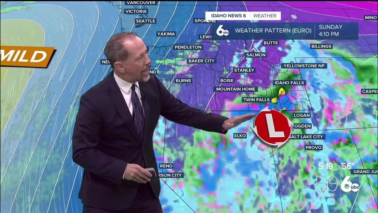
On Sunday I expect a storm to pass by to the south of Idaho but clouds and a chance or rain could move as far north as Glenns Ferry or Mountain Home briefly. The Magic Valley will likely have showers but Ada County north and west should see plenty of sunshine with Boise around 60° again.
Central Idaho should have plenty of sunshine this coming weekend with temperatures near normal.
Warmer temperatures are likely to start next week as highs touch 70° by Tuesday! Stay connected right here for updates to my weekend forecast!