

The Treasure Valley and central Idaho are enjoying a perfect stretch of fall weather that will continue through Friday, but a dramatic change is coming as a potent atmospheric river event will bring the region's first significant storm system in weeks.
Freeze Warning Tonight, Then Warming Begins
Tonight brings the coldest temperatures of the recent stretch, with a Freeze Warning in effect for much of the Snake Plain. While most areas will see temperatures drop to around 38 degrees, some locations may experience freezing conditions. However, a southeast wind in some areas should be enough to keep temperatures just above freezing.
This marks the last of the cold nights for a while, as a warming trend begins Tuesday and continues through the week.
Perfect Weather Through Friday
The next four days represent some of the best weather conditions we'll see for quite some time. A weak upper-level ridge will maintain quiet, dry conditions with abundant sunshine and comfortable temperatures.
Tuesday starts the beautiful stretch with sunny skies and highs near 62 degrees under light and variable winds. Wednesday continues the pattern with sunny conditions and slightly warmer temperatures reaching 64 degrees.
Thursday and Friday will be the warmest days of the period, with Thursday featuring sunny skies and highs near 65 degrees, while Friday reaches 69 degrees - about 5-10 degrees above normal for late October. Friday will be partly sunny as clouds begin to increase ahead of the approaching storm system.
The stable air mass during this period will favor notable warming at higher elevations, making it an excellent time for mountain activities in central Idaho.
Atmospheric River Event Arrives Late Friday
The pleasant weather pattern will be "abruptly broken" by a potent atmospheric river event beginning late Friday. This represents a significant weather pattern change driven by an intense upper-level trough off the Gulf of Alaska that will draw tropical moisture into the Pacific Northwest.
Stormy Weekend Ahead
Saturday will be dramatically different from the midweek sunshine, with showers likely throughout the day and a 70% chance of precipitation. High temperatures will drop to around 57 degrees - about 12 degrees cooler than Friday - as the storm system moves through.
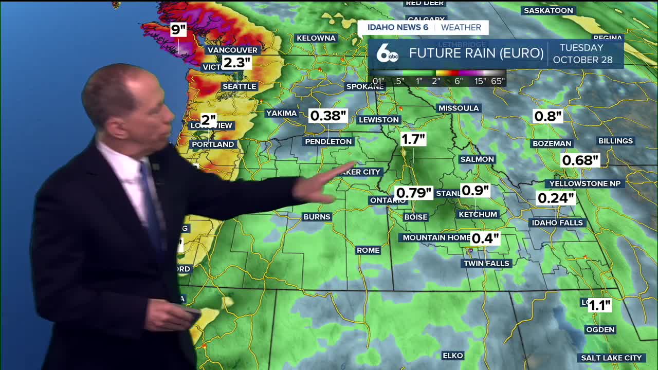
The intensity of this system is notable. Strong southwesterly flow aloft will carry precipitable water values above 0.5 inches, which is above the 75th percentile according to climatology. This means heavy rainfall is possible, with lower elevation valleys expected to receive more than 0.5 inches and higher elevation mountain valleys seeing more than 1 inch of rain.
Saturday night and Sunday continue the wet pattern with a 70% chance of showers. Sunday will see highs drop further to around 53 degrees, making it feel more like late fall or early winter.
First Significant Mountain Snow
This storm could bring the first significant snowfall to central Idaho mountains this fall. Snow levels will start near 8,000 feet but will drop dramatically as the cold front passes.
By late Saturday into Sunday, snow levels will drop to 4,000 feet, with accumulating snow possible down to 5,000 feet. The highest peaks above 7,000 feet could see up to a foot of snow in total, marking a significant early-season snowfall event.
Strong Winds Expected
The intensity of the pressure gradient will create strong surface winds, with gusts of 30+ mph possible, especially along southern areas. These winds, combined with heavy rain and mountain snow, will make travel conditions challenging, particularly in higher elevations.
Extended Stormy Period
This isn't just a quick-moving system. The atmospheric river event will last from late Friday through mid-Monday, with Sunday night and Monday still showing 40% chances of showers. Monday will be partly sunny but cool, with highs only reaching 51 degrees - about 5-10 degrees below normal.
Planning Recommendations
With such a stark contrast between this week's beautiful weather and the weekend's stormy conditions, now is the time to complete any outdoor projects or activities. Tuesday through Friday offer ideal conditions, while the weekend will be best suited for indoor plans.
Daily Forecast
Tonight: Mostly clear, with a low around 38 degrees. Light and variable wind.
Tuesday: Sunny, with a high near 62 degrees. Light and variable wind.
Wednesday: Sunny & pleasant, with a high near 64 degrees. Light wind.
Thursday: Sunny & very pleasant, with a high near 65 degrees.
Friday: Partly sunny, with a high near 69 degrees.
Friday Night: A 50% chance of showers. Mostly cloudy, with a low around 46 degrees.
Saturday: Showers likely. Mostly cloudy, with a high near 57 degrees. Chance of precipitation is 70%.
Saturday Night: Showers likely. Mostly cloudy, with a low around 41 degrees. Chance of precipitation is 70%.
Sunday: Showers likely. Mostly cloudy, with a high near 53 degrees. Chance of precipitation is 70%.
Sunday Night: A 40% chance of showers. Mostly cloudy, with a low around 36 degrees.
Monday: A 40% chance of showers. Partly sunny, with a high near 51 degrees.