

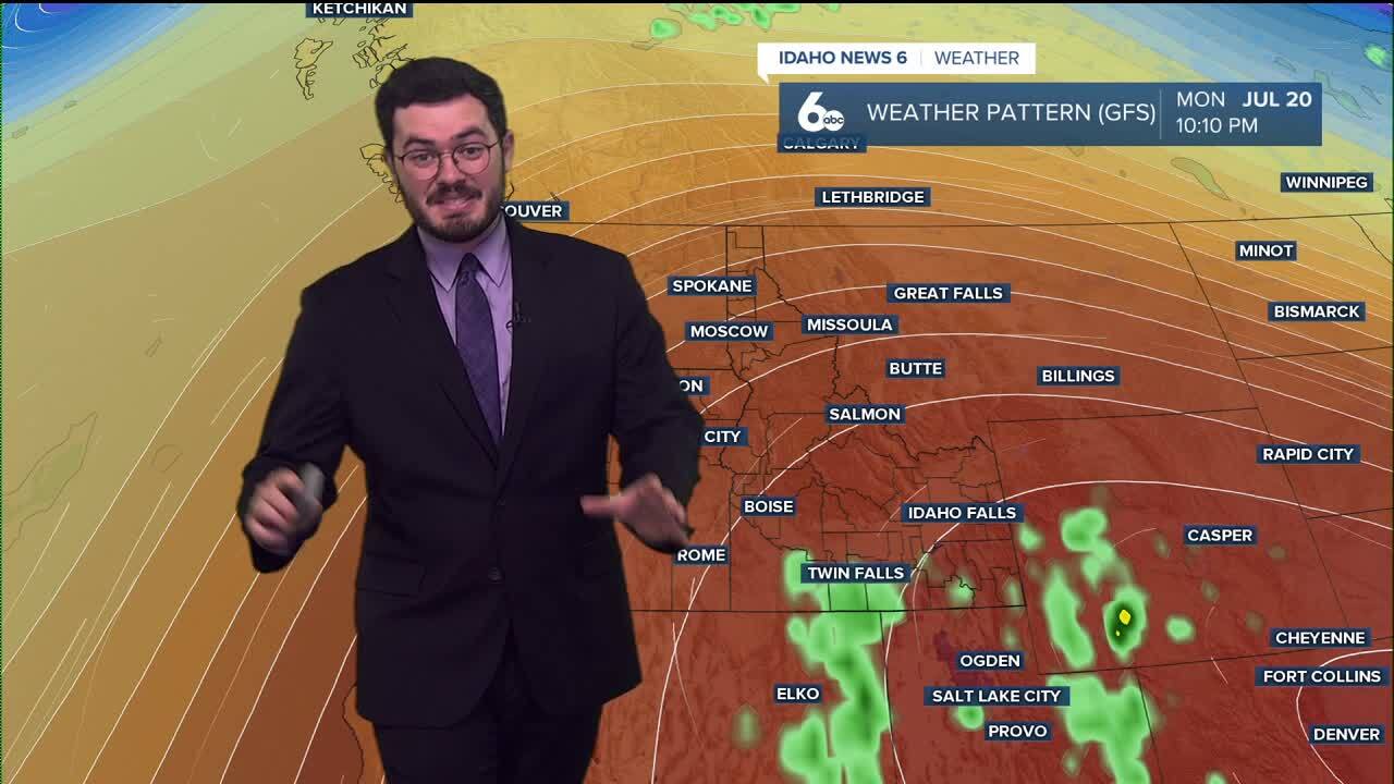


Another hot July day and another round of storms crossing the Nevada border into Southern Idaho. July is still trending warmer and wetter than usual, and the active pattern looks to continue this week.
The temperatures so far are the easiest thing to track, with the Magic Valley sitting in the 90s all this next week and the Treasure Valley getting into triple digits nearly every day.
A new component of the forecast is smoke. Oregon wildfires are kicking up, causing valley floor air quality to deteriorate, and so far we are forecasted at least for the next few days to have smoke.
Good news for Sunday: we should have clear skies and a break from unsettled weather. The break is short-lived, as Monday night the Magic Valley is set to receive another round of monsoonal moisture and more thunderstorm activity.
This continues into Tuesday, when southern and central Idaho will see storms develop. So far, the National Weather Service hasn't given the Boise region any chances of rain, but we will pay attention if anything develops in our region.
Forecast key points:
- Southern Idaho will continue to see hot July weather with temperatures in the 90s across the Magic Valley and triple digits for the Treasure Valley through next week
- Thunderstorms moving in from Nevada remain part of the forecast as monsoonal moisture keeps conditions warmer and wetter than average for July
- Smoke from Oregon wildfires is lowering air quality across valley locations, with hazy conditions expected to continue for several more days
- Sunday is expected to bring a short break from storms, with mostly clear skies and calmer weather conditions
- Thunderstorm chances return Monday night into Tuesday for southern and central Idaho
