

9:30pm update:
Snow is increasing in the mountains with McCall already seeing 2" of snow. Expect upto 6-7 inches there by morning. The Treasure Valley will see rain change to snow overnight with up to an inch possible especially from Boise east to Mountain Home. Slick roads are possible in these areas before sunrise!
Current Storm Impacts: Heavy Snow and High Winds
Current satellite imagery shows the cold front pushing into eastern Oregon with radar filling in behind it. Pre-frontal winds have picked up throughout the day, with Twin Falls recording a peak gust of 44 mph. A Wind Advisory has been issued for southern Twin Falls County and the western Magic Valley, where gusts could reach 55 mph as the front continues moving east through southwest Idaho this afternoon.
As the front moves through, precipitation will fill in aided by a low pressure system being steered over the area. The period of heaviest precipitation will come late tonight into early Tuesday morning, which is exactly what weather models have been consistently forecasting. For low elevation valleys, most precipitation will fall as rain initially, with snow levels starting between 4,500 to 6,500 feet. However, with snow levels dropping to valley floors overnight, snow and wintry mix isn't out of the picture for lower elevation valleys early Tuesday morning.
The Winter Weather Advisory remains unchanged for mountain areas, with 6 to 12 inches of snow expected above 6,000 feet and 2 to 6 inches in mountain valleys. The advisory has been expanded into the Camas Prairie, where snowfall totals will be 1 to 3 inches, but wind gusts up to 55 mph create blowing snow concerns.
Extended Active Pattern: More Snow Through Thursday
Tuesday morning will bring a brief reprieve from precipitation, but the active pattern continues. Perfect conditions for convective snow and graupel showers, with a 10 to 15% chance of thunder and lightning within the showers.
These afternoon showers will be particularly impactful, potentially reducing visibility to as low as a quarter mile with wind gusts up to 45 mph. Mountain areas will continue seeing snow showers over terrain, adding another 6 to 12 inches of accumulation above 6,000 feet from Tuesday afternoon through early Thursday.

The extended pattern keeps the trough over the area with cool and unsettled conditions continuing through Friday. Temperatures will run around 10 degrees below normal, a dramatic shift from recent above-normal readings. Another system moves across Oregon into Nevada Friday, bringing reinforcement of cold air and enhancing mountain snow showers.
The pattern finally shifts Saturday as a ridge builds in with drier conditions and warmer temperatures. Strong south-southeast surface winds are expected Saturday and Sunday as temperatures rebound into the mid to upper 50s in valley locations by Sunday and Monday.
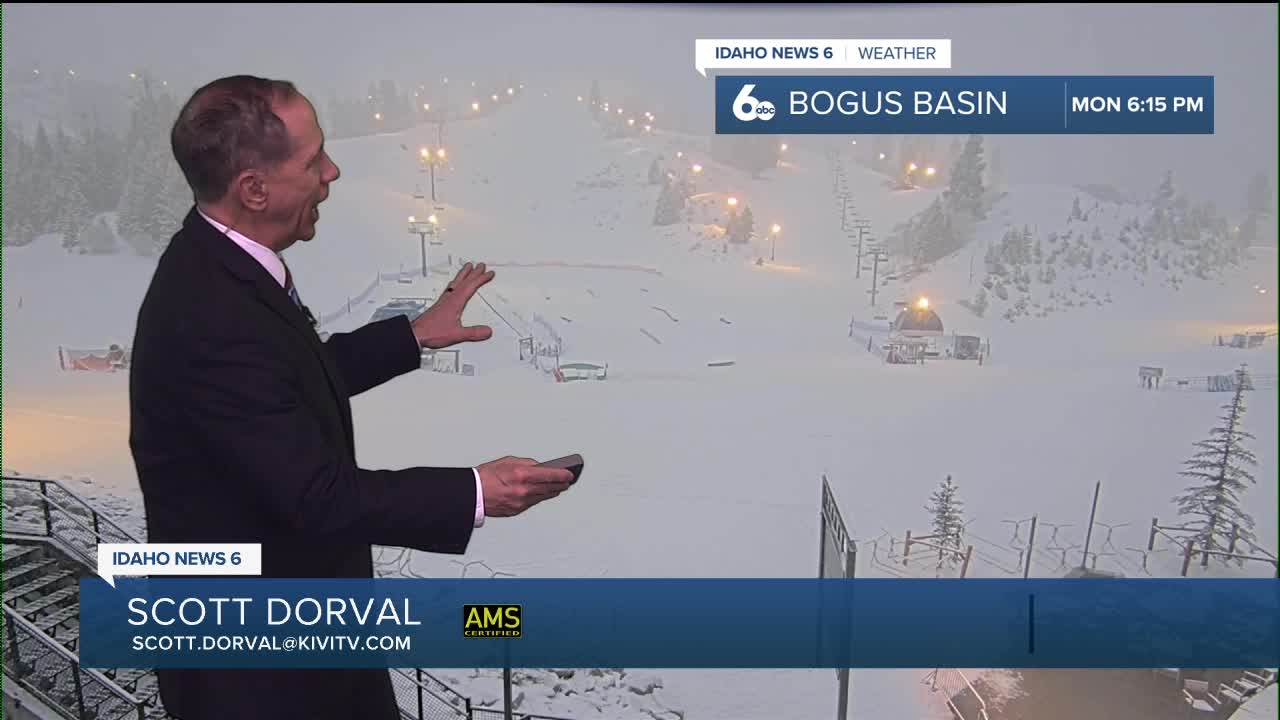
Mountain Snow Conditions for Ski Areas
This is the major mountain snow event that ski areas have been waiting for all season. With 6 to 12 inches above 6,000 feet from the initial system, followed by another 6 to 12 inches from continued showers Tuesday through Thursday, total accumulations could reach 12 to 24 inches at higher elevations. However, strong winds and blowing snow will create challenging conditions for both skiing and mountain travel during the peak of the storm.
Daily Forecast

Tonight
Rain before 2am, then rain and snow. Low around 31. Gusty WNW wind developing. Chance of precipitation is 100%. Little or no snow accumulation expected.
Tuesday
Partly cloudy with a chance of snow showers before 2pm, then Increasing clouds with a chance of rain and snow showers. Some thunder is also possible. High near 46. Winds could gust as high as 22 mph. Chance of precipitation is 30%. Little or no snow accumulation expected.
Tuesday Night
A chance of rain and snow showers before 11pm, then a chance of snow showers. Mostly cloudy, with a low around 30. Light wind. Chance of precipitation is 40%. New snow accumulation of less than a half inch possible.
Wednesday
Snow showers likely, mainly before 11am. Some thunder is also possible. Mostly cloudy, with a high near 40. Wind NW 8 to 13 mph in the morning. Winds could gust as high as 22 mph. Chance of precipitation is 60%. New snow accumulation of less than a half inch possible.
Wednesday Night
A 20 percent chance of snow showers after 11pm. Mostly cloudy, with a low around 25.
Thursday
A 40 percent chance of snow showers, mainly after 11am. Some thunder is also possible. Partly sunny, with a high near 40. New snow accumulation of less than a half inch possible.
Thursday Night
A 50 percent chance of snow showers. Mostly cloudy, with a low around 25.
Friday
A 30 percent chance of snow showers, mainly before 11am. Partly sunny, with a high near 39.
Friday Night
A 20 percent chance of snow showers after 11pm. Partly cloudy, with a low around 25.
Saturday
Mostly sunny, with a high near 44.
Saturday Night
Partly cloudy, with a low around 30.
Sunday
Partly sunny & significantly milder, with a high near 56.
Sunday Night
A 20 percent chance of showers. Mostly cloudy, with a low around 36.
Monday
Showers likely. Mostly cloudy, with a high near 58.