

Happy Friday, we've made it to the weekend!
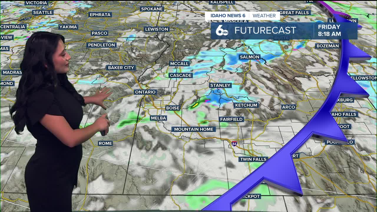
An upper-level disturbance moving along the Oregon–Washington border this morning is bringing scattered showers to the mountains of east-central Oregon and west-central Idaho. By early afternoon, that rain band will weaken as it drops south toward the Burns–Mountain Home line. Any lingering mountain showers will taper off by sunset, with only a couple of inches of snow possible above 6,500 feet.

Behind the system, breezy northwest winds will develop through the afternoon, with gusts of 20–30 mph across open terrain. Skies will clear tonight as high pressure builds overhead, setting up a dry and quiet weekend. Sheltered valleys could see patchy fog early Saturday morning, while mountain areas warm more quickly under sunny skies.

By Sunday, a temperature inversion will strengthen—meaning warmer air aloft but cool, stagnant air near valley floors. Expect dry, mild conditions through Sunday evening, with highs running near or slightly above average.
Early next week, the pattern stays dry with above-normal temperatures.
Stay up to date right here https://www.instagram.com/sophiacruzwx/
