

Happy Friday, Idaho😊
Fog will continue to be the main weather story through the weekend. A strong high-pressure ridge is keeping the air calm and trapping moisture near the ground, leading to dense fog across the Snake River Plain and Treasure Valley, especially in the mornings. Some areas may see visibility drop below a quarter mile this morning. A dense fog advisory is in place through 10 am this morning. Drive safely and slowly.

Low clouds will linger longer in the Lower Treasure Valley, keeping afternoon temperatures slightly cooler. Overnight temperatures will stay above freezing due to the cloud cover.

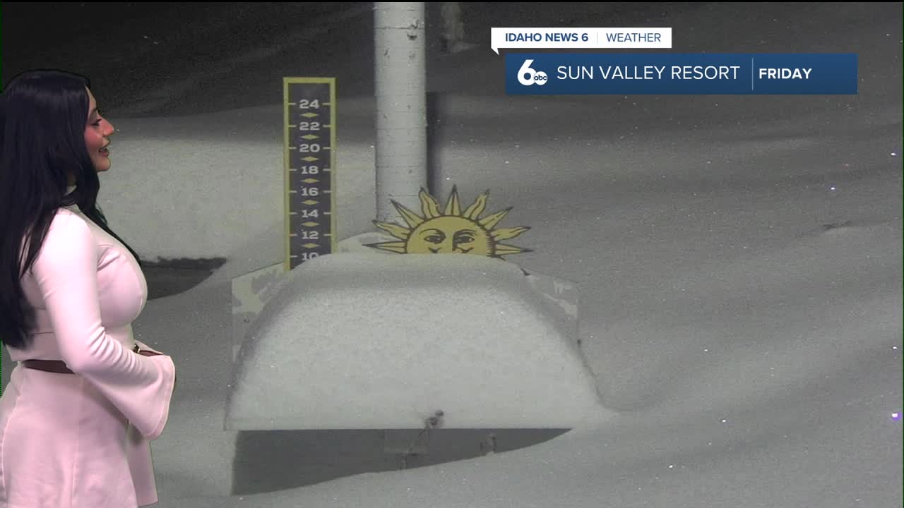
Late Sunday, a weak front will move in, bringing light precipitation to Baker County and the Central Idaho mountains, with snow levels between 5,500 and 6,500 feet.
Early next week, a stronger system from Alaska will bring cooler weather and a better chance of mountain snow, with snow levels dropping to 2,000–3,000 feet. Valley highs will fall into the mid to upper 40s through Wednesday. Light precipitation remains possible at times, mainly over higher terrain.
Later next week, temperatures will warm slightly into the upper 40s to low 50s, with additional chances for rain and mountain snow.
Have a safe and wonderful weekend, see you guys back on Monday!
Stay up to date right here https://www.instagram.com/sophiacruzwx/?hl=en
