


Scattered showers and thunderstorms are expected across southwest Idaho and southeast Oregon Friday and Saturday, followed by a noticeable drop in temperatures on Sunday.
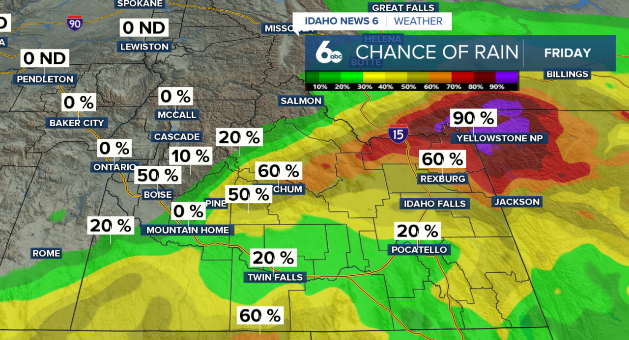
Friday starts with plenty of clouds and some rain that evaporates before reaching the ground. As the atmosphere becomes more moist throughout the day, showers will have a better chance of reaching the surface, especially later in the afternoon and evening.
A few thunderstorms could also develop Friday. The best chance for stronger storms will be across southeast Oregon, particularly southern Harney and Malheur counties. Any stronger storm could produce gusty and erratic winds.
Storm chances shift farther east into Idaho on Saturday as a weather system moves closer to the region. Scattered thunderstorms are expected during the afternoon, with the greatest potential across south-central Idaho. Stronger storms could produce wind gusts between 45 and 55 mph, along with brief heavy rain. Storms will be moving fairly quickly, which should help limit the risk of flash flooding.
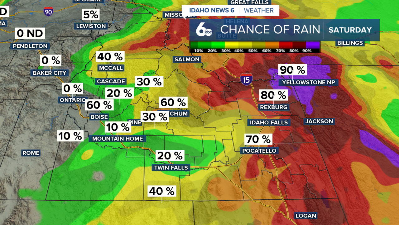
A cold front moves through Saturday evening, bringing an end to most of the showers and thunderstorms overnight. Behind the front, Sunday will feel noticeably cooler and breezy. Temperatures could run around 10 degrees below normal for late August.
Temperatures quickly rebound Monday and Tuesday, which are expected to be the warmest days of the upcoming week. However, the warmer weather will not last long.
Another weather system will move through the Pacific Northwest during the middle of the week, bringing additional chances for showers and thunderstorms, especially over the mountains.
By the end of next week, a stronger area of low pressure is expected to approach the Pacific Northwest. While the exact timing could change, the overall pattern favors cooler, windier and wetter weather heading into Thursday and Friday.

