
The Treasure Valley and central Idaho mountains are enjoying a pleasant warming trend that will peak Friday, but a major weather pattern change this weekend will deliver the first substantial snowfall to ski areas and mountain recreation zones.
Continued Warming Through Friday
Tonight will be mostly clear with lows around 39 degrees under light and variable winds. The warming trend that began earlier this week continues as weak upper-level ridging remains in place across the region.
Wednesday brings mostly sunny skies with highs near 64 degrees - right around normal for late October. Light winds will become west around 5 mph, making it another pleasant day for outdoor activities.
Thursday and Friday represent the peak of this warming period, with sunny skies and highs reaching 65-72 degrees - about 5-8 degrees above normal. This marks the last days of consistently pleasant weather before a significant pattern change arrives.
The National Weather Service says the growing season has ended with last night's frost and freeze, so no additional frost or freeze warnings will be issued for the remainder of 2025.
Friday Night: The Transition Begins
Friday will start under partly sunny skies with the warmest temperatures of the week, reaching near 70 degrees. However, this pleasant weather masks the approach of a powerful storm system.
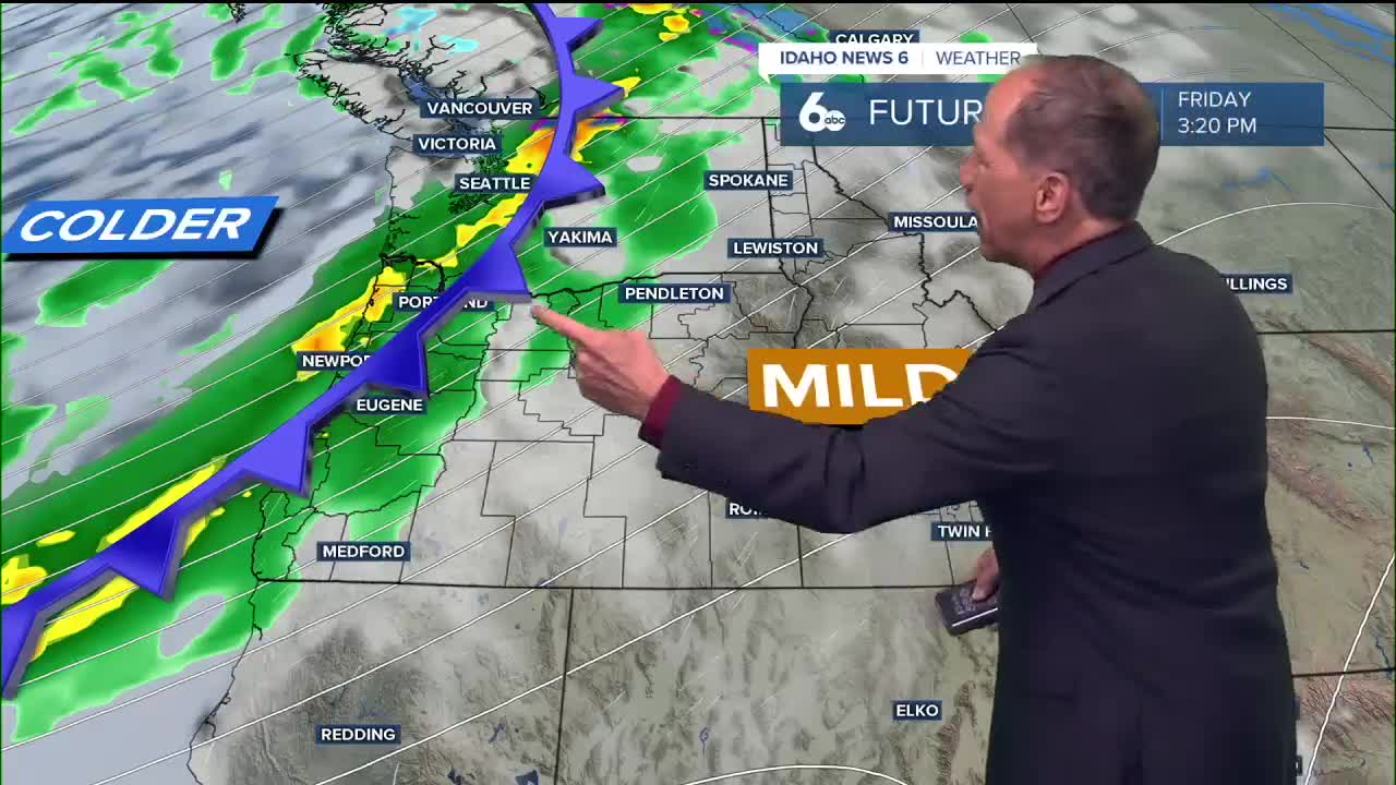
An intense upper-level low spinning in the Gulf of Alaska will slowly move onshore into British Columbia, setting up an atmospheric river event that will dramatically change conditions. Friday night brings the first signs of this change, with a 40% chance of showers developing after midnight as precipitation chances increase from west to east.
Weekend Storm Brings Major Changes
Saturday marks the beginning of a significant weather event, with showers likely throughout the day (especially after 9am) and an 80% chance of precipitation. High temperatures will drop to around 60 degrees as the storm system moves through the region.
The real drama begins Saturday night and Sunday as multiple embedded shortwaves in southwesterly flow aloft create enhanced precipitation conditions. Sunday will see temperatures plummet 10 to 15 degrees from Saturday, with highs only reaching 52 degrees as cold air, gusty winds, and significant moisture move into the region.
Ski Areas Receive Season's First Major Snow
This weekend's storm will be a game-changer for central Idaho's ski areas and mountain recreation. Snow levels will start around 7,000-8,000 feet through midday Saturday, then drop dramatically to 4,000-5,000 feet Sunday and Monday.
Higher summits (ski areas) could see 8 to 12 inches of snow by Monday morning, while mountain valleys (McCall, Donnelly, Cascade, Idaho City) may receive 1-3 inches. This represents the first significant snowfall of the season for ski areas, potentially allowing some higher elevation resorts to begin early season preparations.
Areas with 75% chance or greater precipitation will exist during Saturday night through Sunday night for higher elevation areas, ensuring widespread mountain snow accumulation.
Widespread Valley Rain Expected
The Treasure Valley won't be left out of this weather event. Widespread valley rain is anticipated, with Saturday showing an 80% chance of precipitation and Sunday maintaining a 70% chance of showers.
This will be welcome precipitation for the region, as it represents the most significant rain event in recent weeks. The combination of valley rain and heavy mountain snow will provide substantial moisture across all elevations. The valley may see some rain shadowing from the Owyhee mountains, keeping precip totals closer to a quarter inch over the weekend.
Extended Stormy Period
This isn't a quick-moving system. The atmospheric river event will persist through the weekend and into early next week. Sunday night still shows a 40% chance of showers, with Monday maintaining a 30% chance as lingering moisture moves through the region.
Monday will be partly sunny but remain cool with highs near 51 degrees. Northwesterly flow will begin to set in late Monday, starting to dry out conditions.
Recovery Begins Tuesday
Tuesday marks the beginning of recovery from the weekend storm, with mostly sunny skies returning and highs near 53 degrees. An upper-level ridge will start to build in, beginning to raise temperatures once again, though it will take time to return to the pleasant conditions of this week.
Planning for the Weekend
With such a dramatic contrast between this week's beautiful weather and the weekend's stormy conditions, outdoor enthusiasts should take advantage of Wednesday through Friday's ideal conditions. Ski area operators and mountain recreation businesses should prepare for the season's first significant snowfall event.
Daily Forecast
Tonight: Mostly clear, with a low around 39 degrees. Light and variable wind.
Wednesday: Mostly sunny with a pleasant afternoon, with a high near 64 degrees. Light wind.
Thursday: Sunny & pleasant, with a high 64-69 degrees. Light wind.
Friday: Partly sunny, pleasant and unseasonably warm, with a high topping 70 degrees.
Friday Night: A 40% chance of showers after midnight. Mostly cloudy, with a low around 49 degrees.
Saturday: Showers, especially after 9am. High near 60 degrees. Chance of precipitation is 80%.
Saturday Night: Showers likely. Mostly cloudy, with a low around 39 degrees. Chance of precipitation is 70%.
Sunday: Mostly cloudy with cold rain showers likely. High near 52 degrees. Chance of precipitation is 70%.
Sunday Night: Mostly cloudy & cold with a 40% chance of showers. Low around 35 degrees.
Monday: Partly sunny & chilly with a 30% chance of showers. High near 51 degrees.
Tuesday: Mostly sunny & continued cool, with a high near 53 degrees.
Stay connected right here for updates on our first atmospheric river of the season!