

Happy Monday —it's a brand-new week. Make it a great one!
We are kicking off the week with above-average temperatures. Normal afternoon highs are in the lower 50s, whereas this afternoon, valley floors will remain in the lower 60s. While it’ll still feel nice and cool, temperatures stay above average through Thursday. Mountain locations are still running warmer as well due to a temperature inversion. However, that inversion will begin to weaken on Tuesday, allowing warmer air to mix down into the valleys and slightly cool the higher elevations.

Temperatures warm into Wednesday, with highs ranging from 10–15 degrees above average. Southwest flow will increase, winds will pick up, and you’ll notice more high clouds throughout the day. By Wednesday night, a 15–30% chance of showers creeps into southeast Oregon and parts of the west-central Idaho mountains, with snow levels sitting very high—around 8,000–9,000 feet.
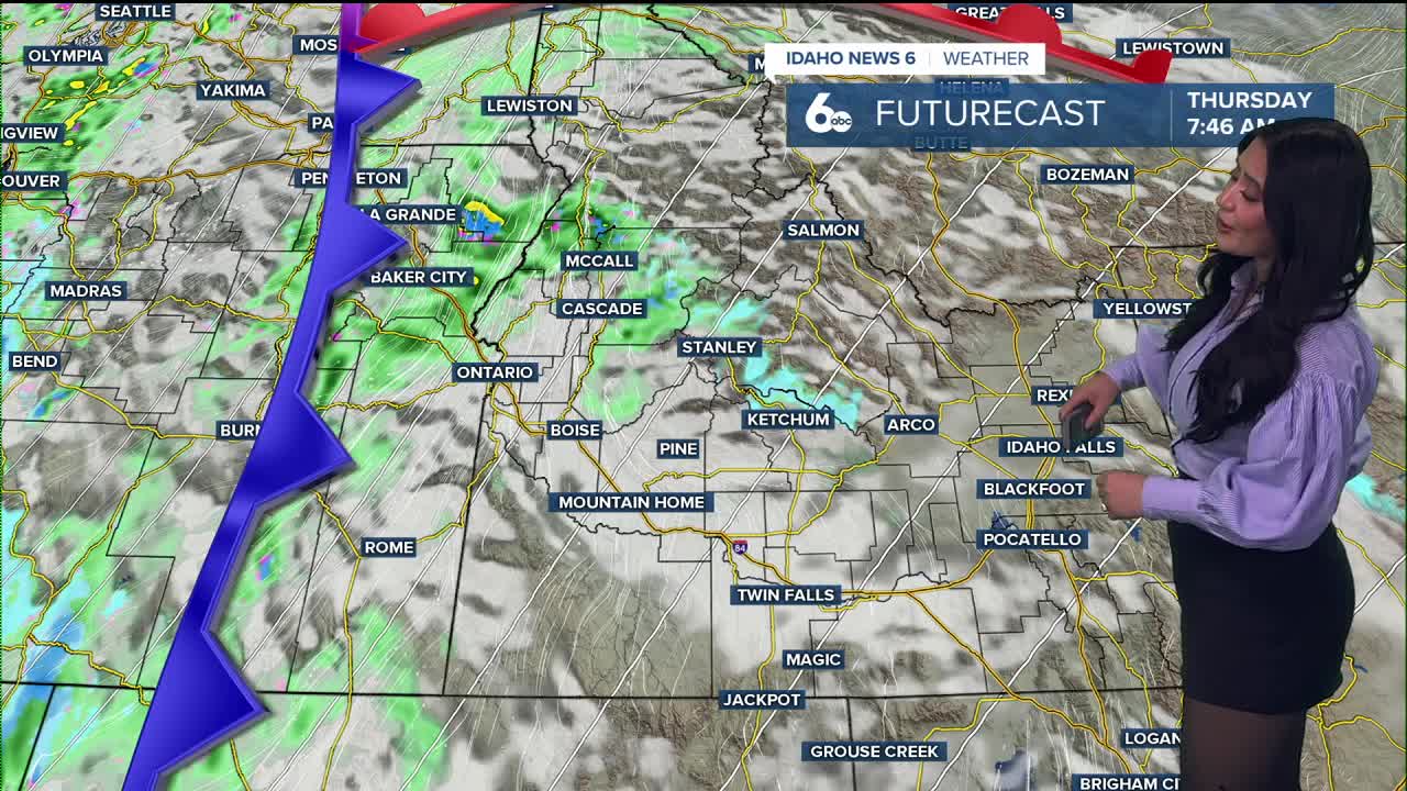
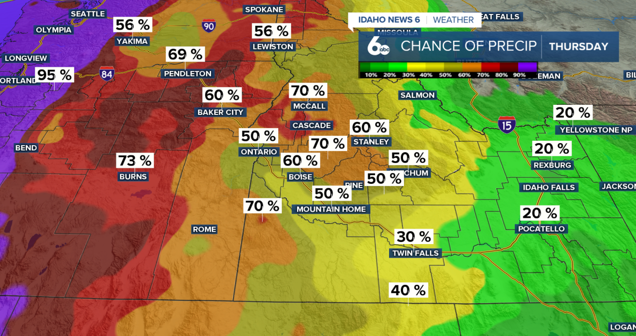
Good news (or bad news, depending on how much you like the warmth): this doesn’t last. Unsettled weather moves on Thursday as a much deeper trough reaches the region. This brings widespread precipitation chances—over 60%—through Friday morning. Lower elevations may see up to 0.20” of rain, while the mountains see heavier totals and fresh snow above 6,000 feet.
Snow levels steadily fall into Friday and Saturday—dropping to 4,000–5,000 feet. That means mountain passes could pick up 2–5 inches with lighter snow down to some mountain valley floors.
As we head into the weekend, expect cooler temps and periodic showers. Highs drop back into the upper 40s Friday and Saturday, with valley rain chances around 20–40%, and continued rain/snow chances in the mountains.
