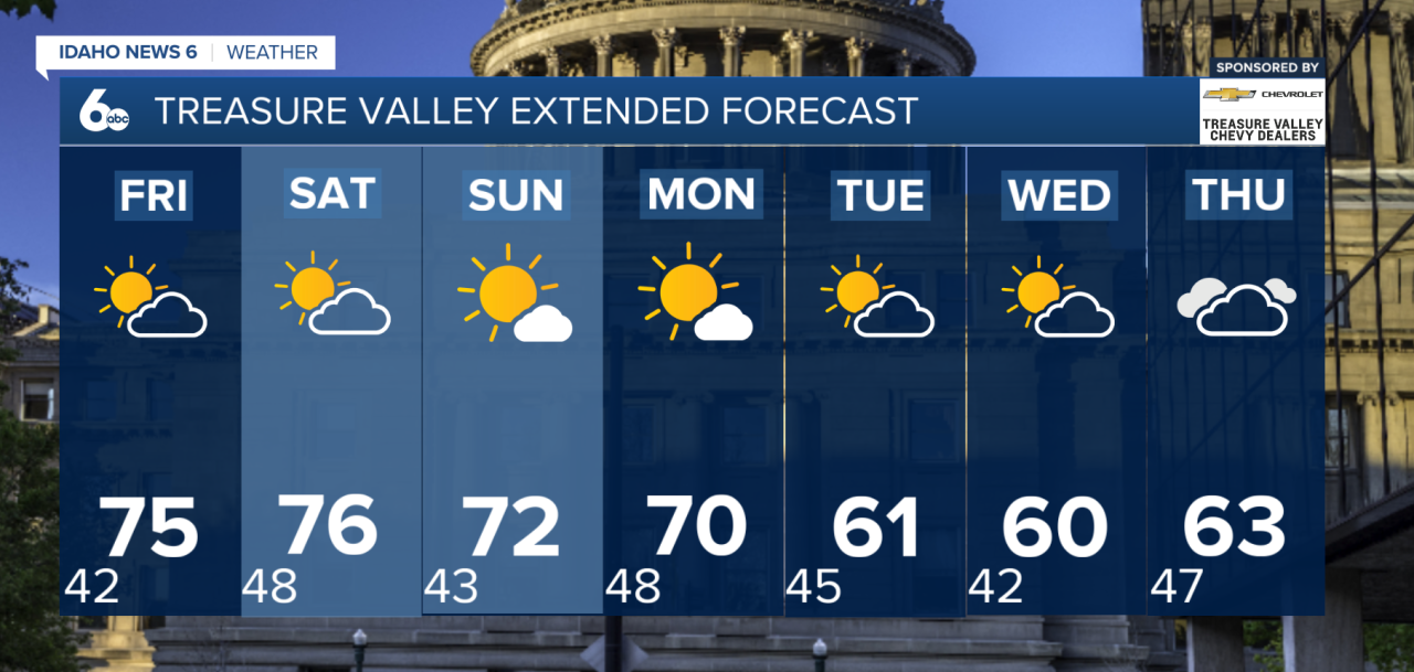
Southwest Idaho and eastern Oregon are in for another stretch of sunshine and above-average temperatures before a cooler, wetter weather pattern returns next week.
Thursday will bring mostly sunny skies and mild afternoon temperatures as high pressure remains in control. While afternoons will feel warm, chilly mornings will continue across the region, with patchy frost and fog possible in some valleys.
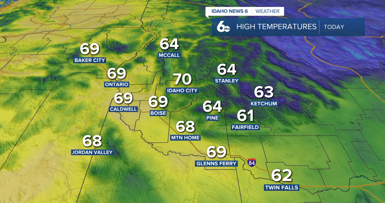
Friday and Saturday will be the warmest days of the week, with temperatures climbing 10 to 15 degrees above normal. Dry conditions and plenty of sunshine will make for a beautiful fall weekend.
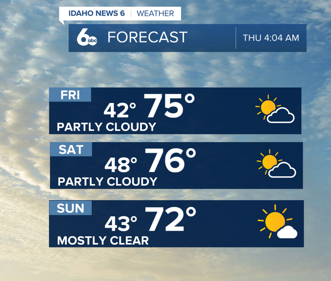
A weak, dry cold front will move through the region late Saturday, bringing breezy northwest winds, especially across the Upper Treasure Valley and Magic Valley.
Sunday will bring a slight cooldown, although temperatures will remain 5 to 10 degrees above average. Monday will stay relatively mild, with increasing southerly winds ahead of an approaching storm system.
Big changes arrive next week. A Pacific low-pressure system is expected to move south along the West Coast before pushing inland, bringing cooler temperatures and increasing chances for precipitation late Tuesday through Thursday.
There is still uncertainty surrounding how much rain will fall and which areas will see the most precipitation. However, Thursday currently looks to have the best chance for widespread rainfall as the system moves across the Great Basin.