

Today marks the final dry day before a series of weather systems moves into the Pacific Northwest, beginning an unsettled weather pattern.

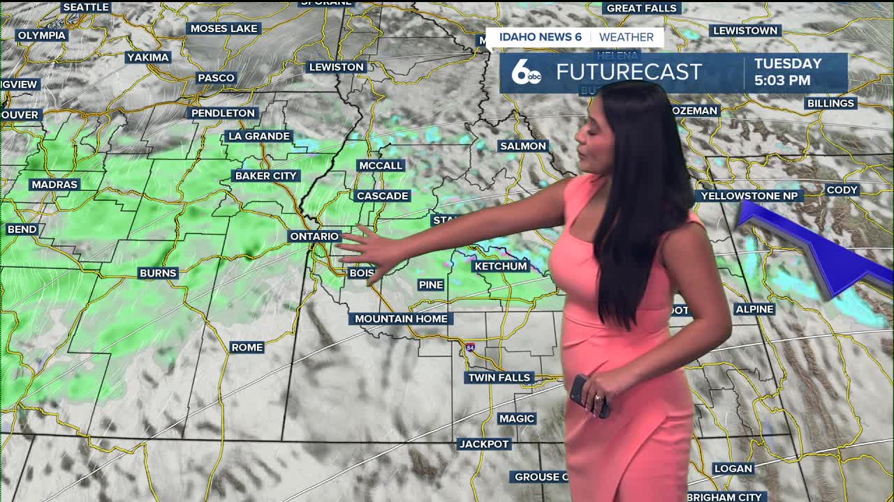
Afternoon highs will run about 10 degrees above normal, with increasing clouds and breezy southwest winds as the next system approaches. Rain and high-elevation snow arrive tonight—first across northern areas, then spreading south by early Tuesday morning. Snow levels will lower to around 6,000–8,000 feet, bringing a few tenths of an inch of precipitation to the valleys and up to three-quarters of an inch in the central Idaho mountains.

A warm front will lift north Tuesday night, producing additional light rain and briefly raising snow levels near 8,000 feet.
After a short break on Wednesday morning, a stronger system moves through Wednesday afternoon and evening, pushing a cold front across the region. Expect gusty southwest winds—up to 50 mph in southeast Oregon and southern Idaho—along with widespread rain and mountain snow. Snow levels will drop to around 6,000 feet by late Wednesday night, with several inches expected on higher peaks.
Cooler air settles in on Thursday behind the front with lingering showers mainly over the mountains. Another trough quickly follows late Thursday into Friday, bringing more rain, mountain snow, and breezy conditions. By the weekend, high pressure builds back in, allowing for drier, milder weather, with temperatures climbing slightly above average Sunday into Monday.
Stay up to date right here https://www.instagram.com/sophiacruzwx/
