

Happy Hump Day, Idaho!
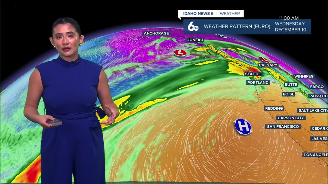
The main plume of Pacific moisture has shifted north of our area, which means today is shaping up to be warm and dry. A few leftover sprinkles are possible early this morning in far northern locations, but most of us stay dry.
The rest of the week stays mild and warm—about 15 to 20 degrees above average (sending hugs to the snow lovers 🤍). Today will be the warmest day of the week, with temperatures running well above normal for mid-December.
This afternoon turns breezy at times, with southwest wind gusts between 20 and 30 mph, especially across the Snake Basin.
Partial clearing overnight will allow temperatures to cool down, with a chance for patchy fog mainly in southern areas. Thursday and Friday stay quiet, mild, and mostly dry with light winds.

High pressure builds in for the weekend, bringing mainly dry conditions and a mix of sunshine and clouds. However, a temperature inversion may develop, which could trap cooler air near the surface and lead to areas of fog or low clouds during the mornings. Even with that setup, afternoon temperatures are expected to stay noticeably above average.
Clouds increase late Monday as the next weather system approaches. Rain chances rise Monday afternoon and evening, with higher odds north of the Snake Plain. From there, a more active pattern settles in through the middle of next week.
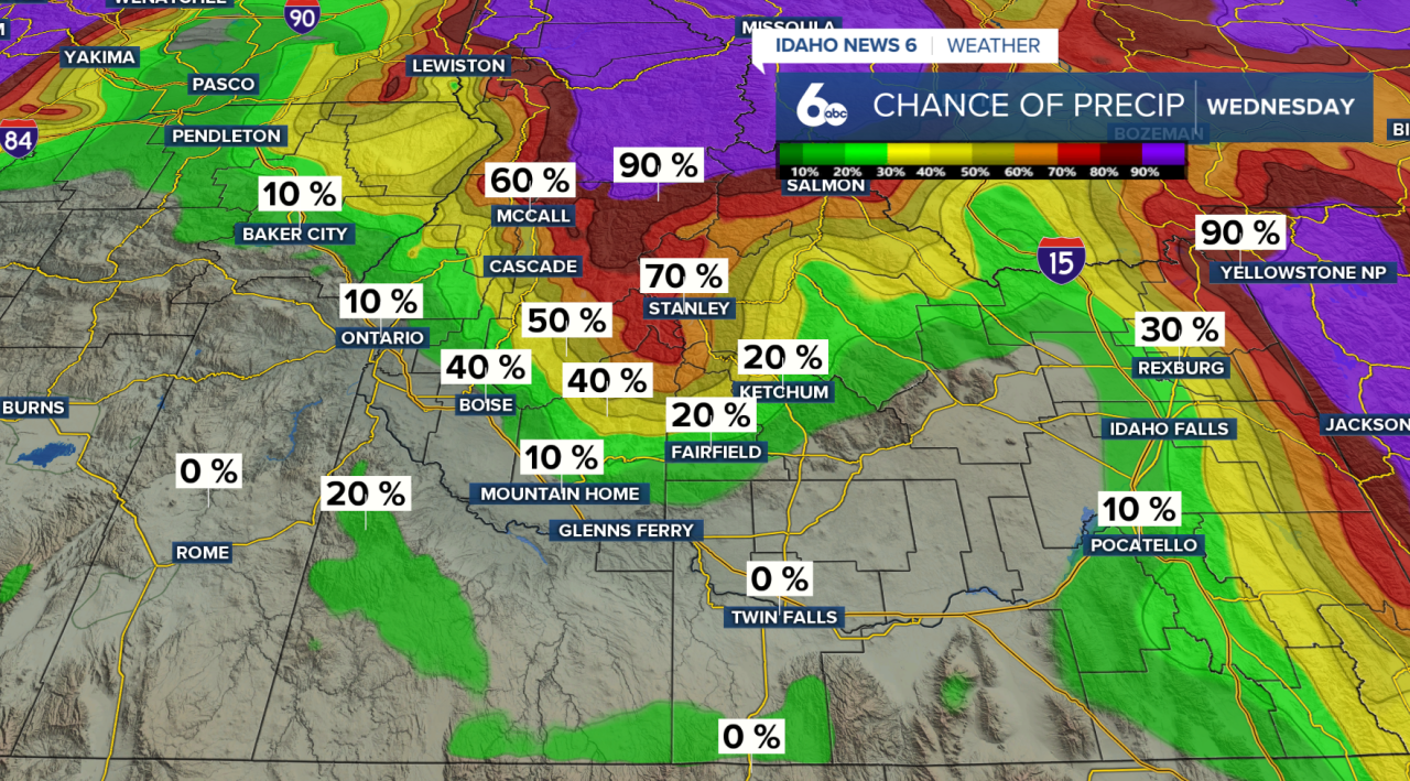
Unfortunately for skiers and snowboarders, temperatures remain mild, and snow levels remain high, so most precipitation will fall as rain.
Stay up to date right here @SophiaCruz
