


A stretch of dangerous heat is taking over the region before thunderstorms make a return heading into the weekend.
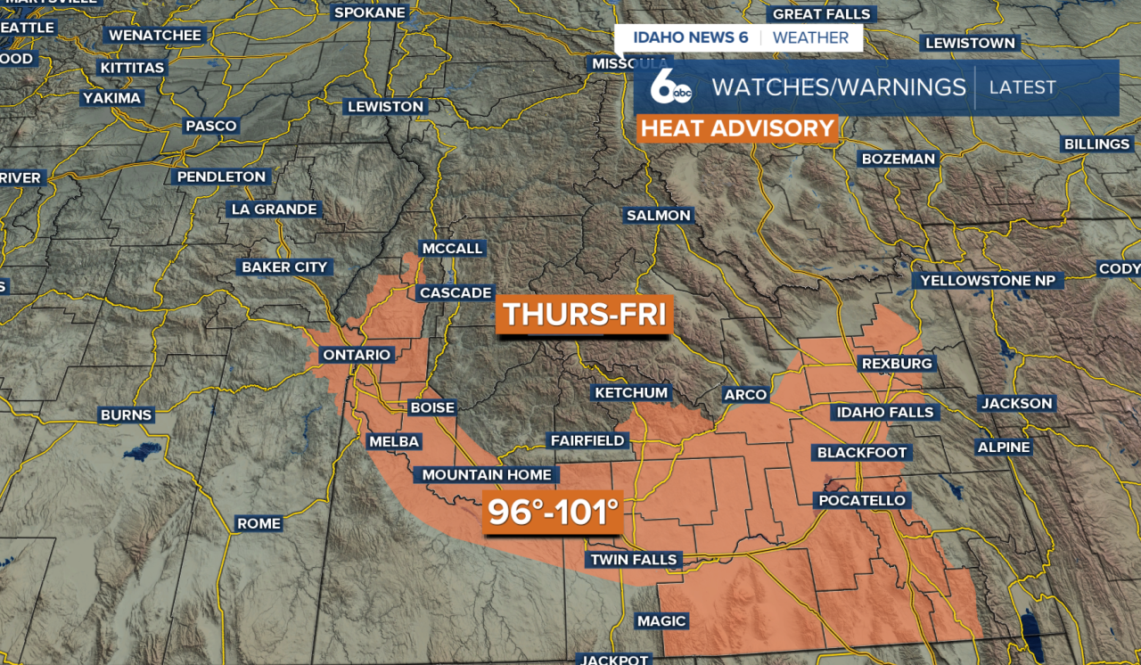
Wednesday will stay dry, but temperatures will continue climbing as high pressure strengthens over the Northwest. By Thursday and Friday, many lower-elevation locations will reach the upper 90s to around 104 degrees. Friday is expected to be the hottest day of the week.
A Heat Advisory is in effect Thursday and Friday for the Snake Plain and Weiser Basin. Avoid strenuous outdoor activities, hydrate, and take shade breaks if you work outdoors.
Moisture will also begin working back into the region Thursday, bringing a chance for afternoon thunderstorms near the Idaho-Nevada border. Storm chances increase and spread farther north on Friday, especially across the western Magic Valley, Boise Mountains and parts of west-central Idaho.
Friday's storms may initially produce more wind than rain because the air closer to the ground will still be fairly dry. Gusty thunderstorm outflow winds and lightning could create additional fire weather concerns.
The heat will linger into Saturday, with many lower elevations potentially remaining in the upper 90s before a front moves through later in the day. Thunderstorm chances will also continue across central and southern Idaho, where stronger storms could produce gusty winds and brief heavy rain.
Sunday will bring some relief as temperatures return closer to normal. However, the cooldown won't last long. Above-normal temperatures are expected to return next week, while afternoon thunderstorm chances continue mainly over the mountains of southwest Idaho.

