

Good Morning Everyone! As we head into the work week, expect car-washing weather with a dry and quiet pattern continuing.
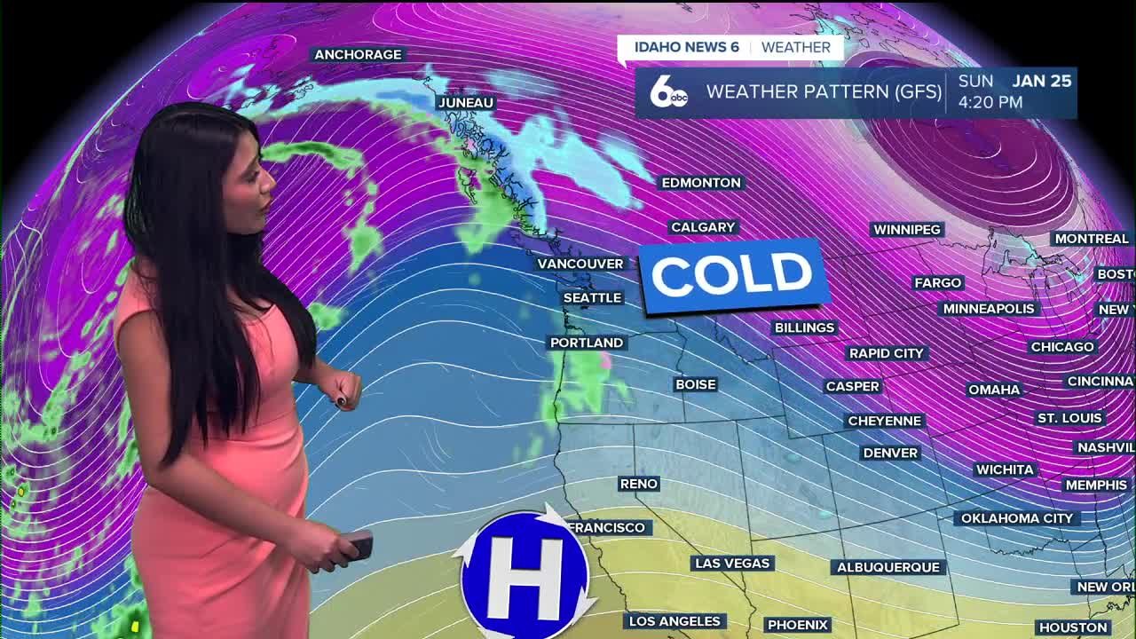
Strong high pressure will remain in place, keeping the storm track well north into Canada. This setup will support a temperature inversion, with mostly clear skies and near-normal temperatures along valley floors. Meanwhile, higher elevations will continue to warm, running about 5 to 15 degrees above normal above the inversion.

Clear skies and light winds will allow patchy fog to develop each night, especially in mountain valleys and the Snake River Basin. As the inversion strengthens, fog may become more widespread and slower to clear each morning.
Another impact we’ll be watching is stagnant air. An Air Stagnation Advisory remains in effect through Friday morning, as light winds and limited mixing allow pollutants to build near the surface. Air quality may degrade at times, especially for those with respiratory sensitivities.

Looking ahead, high pressure is expected to persist into the weekend. Longer-range models hint at a possible pattern change late next week, with low confidence in snow showers, but timing and impacts remain uncertain.

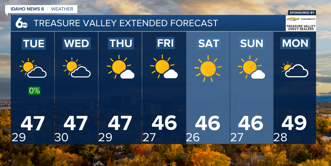
Seven-Day Forecast
Today
Mostly sunny, with a high near 41. Southeast wind 3 to 6 mph
Tuesday
Mostly sunny, with a high near 39. Calm wind becoming northwest around 5 mph in the afternoon.
Wednesday
Sunny, with a high near 41. South southeast wind 3 to 5 mph.
Thursday
Sunny, with a high near 42.
Friday
Sunny, with a high near 42.
Friday Night
Mostly clear, with a low around 24.
Saturday
Sunny, with a high near 44.
Saturday Night
Mostly clear, with a low around 23.
Sunday
Sunny, with a high near 43.