Good morning, Idaho!
Clouds and a few storms will kick off the workweek across parts of Idaho before hotter summer weather makes a comeback later this week.
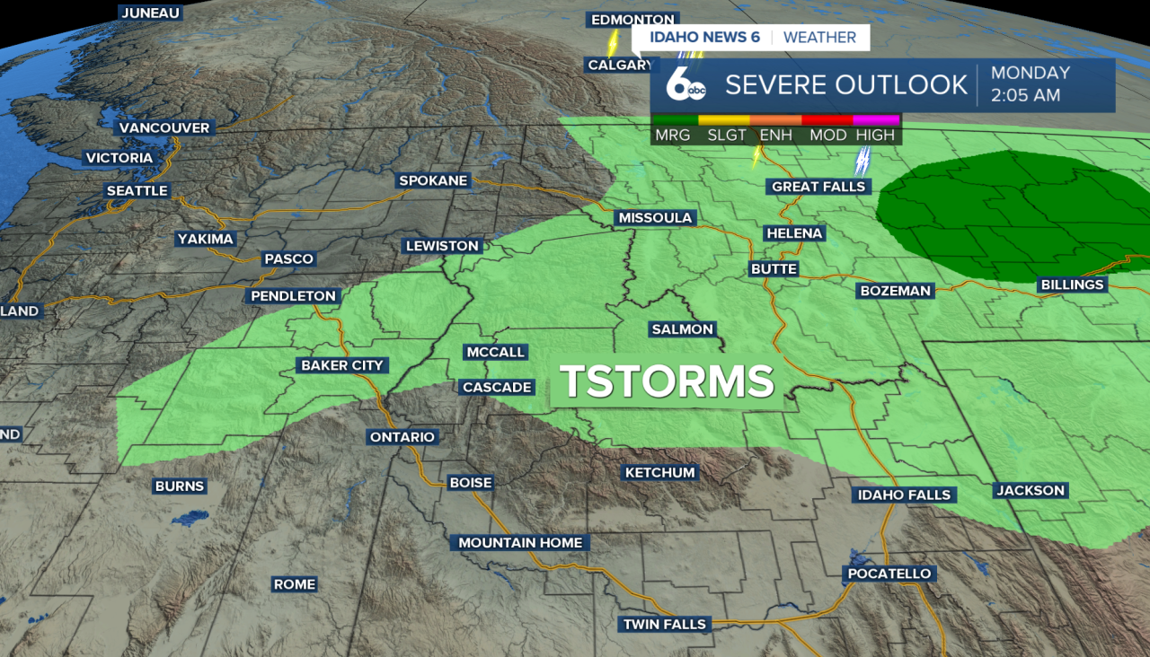
Monday starts off mostly cloudy as moisture continues to move into the region. By the afternoon, isolated showers and thunderstorms are expected to develop, mainly across the higher terrain of central and south-central Idaho, along with portions of northeast Oregon.
Not everyone will see a storm, but those that do could experience a quick downpour and gusty winds. Storm outflows could reach around 30 to 35 mph through the afternoon and evening.
Drier air moves in Tuesday, pushing most of the shower and thunderstorm activity east of the area. A stray afternoon storm will still be possible across central Idaho, but most lower elevations should stay dry. Wednesday looks dry as high pressure begins to strengthen again.
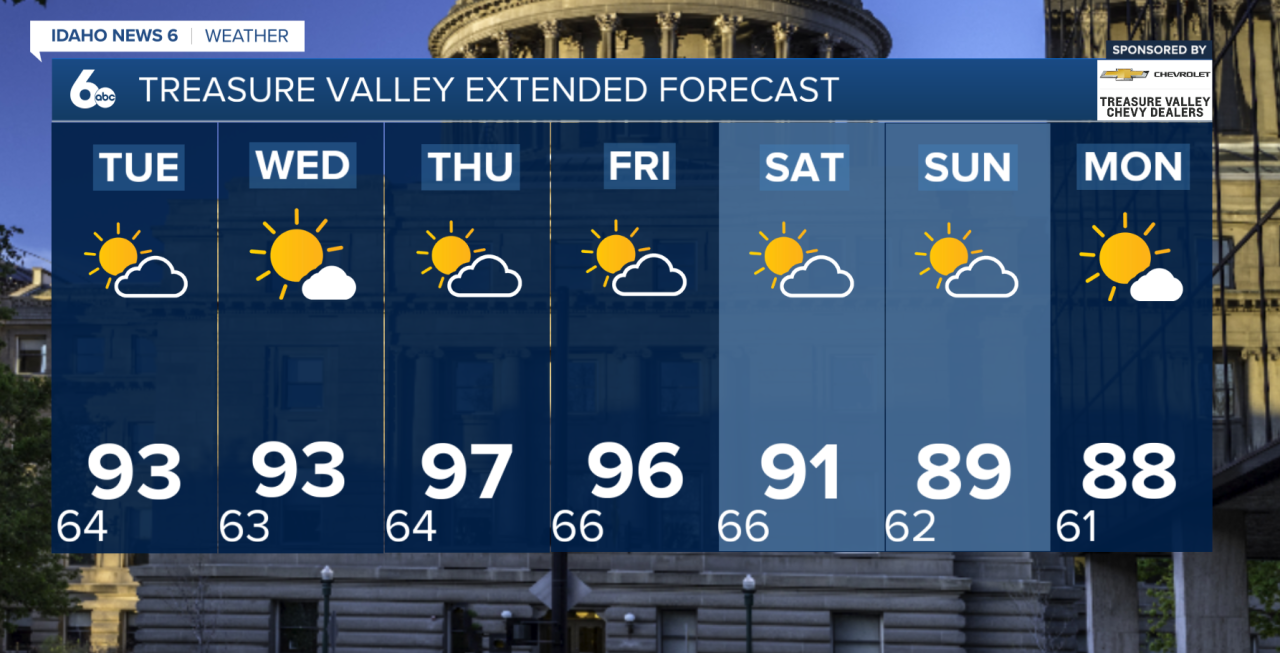
Temperatures will stay close to normal through the middle of the week before the heat ramps up Thursday and Friday. Highs could climb back near 100 degrees across some of the lower elevations, bringing another round of summertime heat to the Treasure Valley and surrounding areas.
The heat won't stick around for long. Monsoonal moisture begins returning Friday into Saturday, increasing the chance for afternoon showers and thunderstorms once again. Winds will also become breezier as the next weather system approaches.
That system should help knock temperatures back down closer to normal by Saturday and Sunday. Drier weather is expected to return to western portions of the region later in the weekend, while some lingering monsoonal moisture could keep storm chances around central Idaho into Monday.