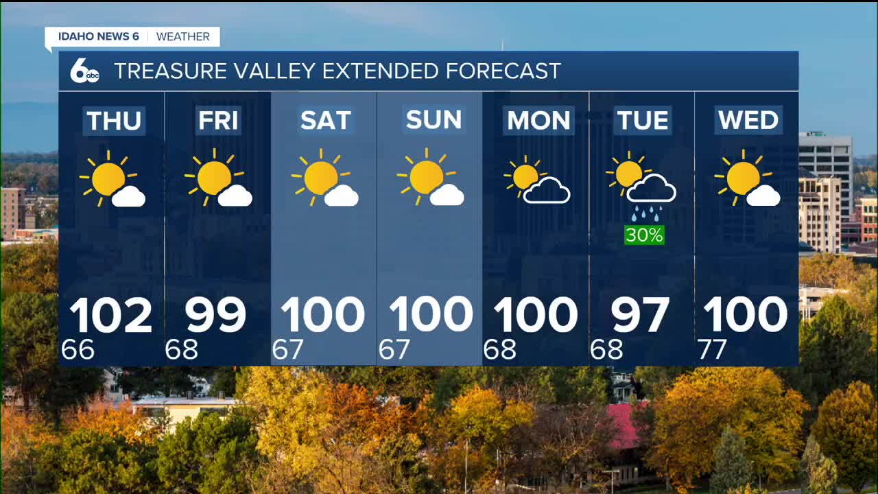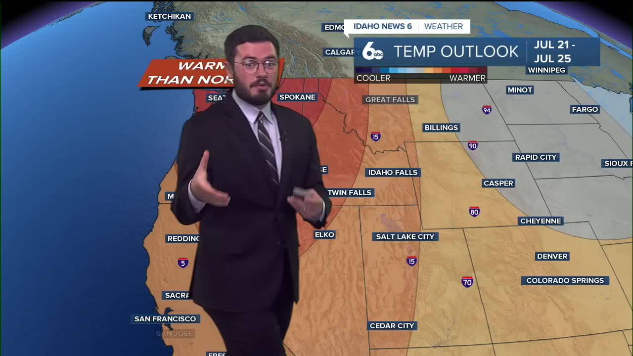


Triple digits take over the forecast as Idaho sees both Heat Advisories and Red Flag Warnings.
Thursday's forecast has both chances of highs near 104° and thunderstorms in the same day which is concerning for a few reasons. The first of course being the intense heat. Don't plan on having extended plans outside during the middle of the day. Try and save those for the morning and later in the evening as very intense heat comes in. Second is the risk of wildfire activity with the Red Flag Warning.
Even if you don't see rain or lightning in your region, windy weather on the outskirts of the storm could still kick up wildfires were any to start tomorrow so a reminder that most wildfires are human caused and everything we can to avoid starting new ones will be critical during these Red Flag Warnings. Again temperatures will also make things very dry so there is plenty of fuel for fires to burn so we will keep an eye on activity tomorrow as it will be easy for brush fires to quickly spread.
Do your best to stay cool and hydrated as we will see multiply triple digit days in the Treasure Valley. Have a great week!