

Good Morning Everyone!
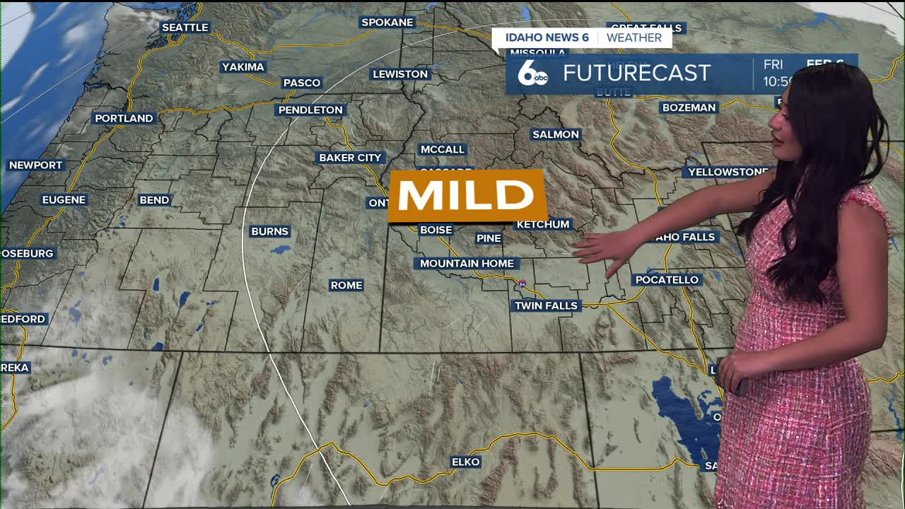
A ridge of high pressure continues to bring mild conditions into the weekend. Good news is changes are expected late Sunday into Monday as a front finally arrives ❄️
Today–Friday:
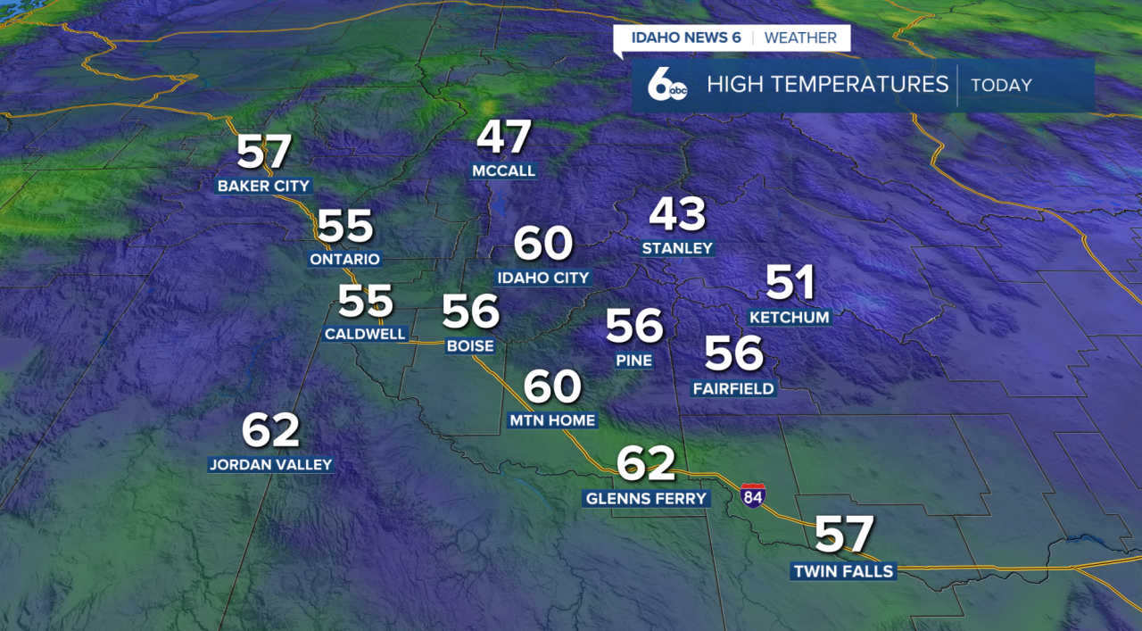
A strong high-pressure ridge will peak today and Thursday, keeping the overall pattern pretty quiet. Expect dry and mild conditions in the mountains, while the valleys stay stuck under a temperature inversion. That means cooler air, stagnant conditions, and periods of patchy fog and low clouds for the valley floors. Temperatures won’t change much from day to day through Friday.
Saturday–Wednesday:
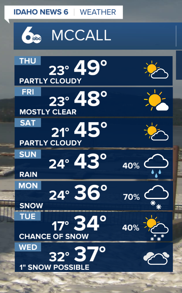
Changes finally arrive this weekend as the ridge weakens and shifts east (Finally). A Pacific cold front is expected to move through late Sunday night into Monday, improving mixing and helping to clear the inversion. There’s a 50–80% chance of rain and snow with this system, and snow levels could drop to the valley floors by Tuesday night after precipitation ends. Some models hint at another round of moisture midweek, which could bring additional snow or a rain/snow mix, especially in southern areas like the Magic Valley.
Either way, a change is on the horizon! Snow lovers keep doing the dances.

McCall Winter Carnival
For those heading up to the McCall Winter Carnival, expect warm and mild conditions through the parade on Saturday. If you’re traveling back down Highway 55 on Sunday, the drive should stay mostly dry as long as you head out before 5 PM. A cold front arriving Sunday evening, around 8 PM, will bring valley rain and mountain snow into the region.