

Happy Hump Day!
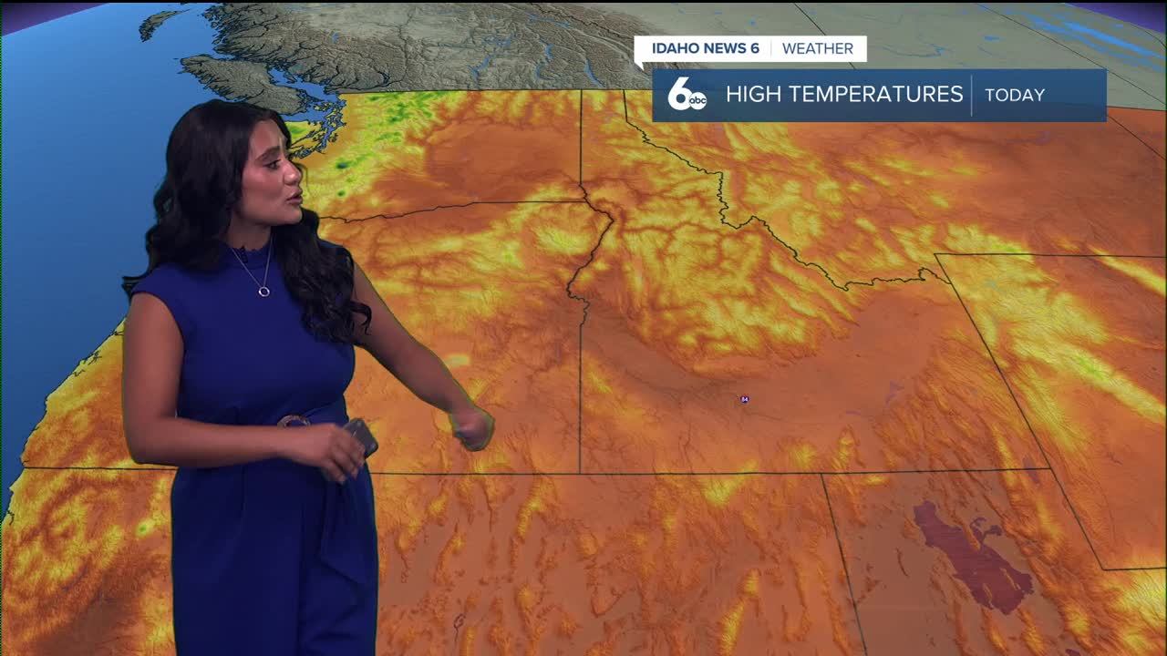
It’s been a hot week, but this afternoon we’ll get a slight dip in temperatures. Sunshine holds firm, though wildfire smoke will continue to build across the West Central Mountains and near the Idaho–Nevada border. Southwesterly flow aloft is keeping things mostly dry, with only a very slim chance of a stray storm south and east of Twin Falls.

If you’re heading to the Western Idaho Fair, plan for a toasty afternoon. Temps will climb into the lower 90s by about 4 PM, so remember to stay hydrated, take shade breaks, and swing by the Idaho News 6 booth — I’ll be there along with the rest of the team!

As we continue through the week, the high-pressure ridge to our south will drift westward and strengthen, dominating into the weekend. Saturday looks to be the hottest day, with valley highs nearing the triple digits. By Sunday into Monday, some monsoonal moisture may sneak back into the region, bringing a 20–40% chance of showers and thunderstorms, mainly near the Nevada border highlands and central Idaho. Temperatures will trend slightly cooler next week, with highs settling into the lower 90s.
Stay up to date right here https://www.instagram.com/sophiacruzwx/
