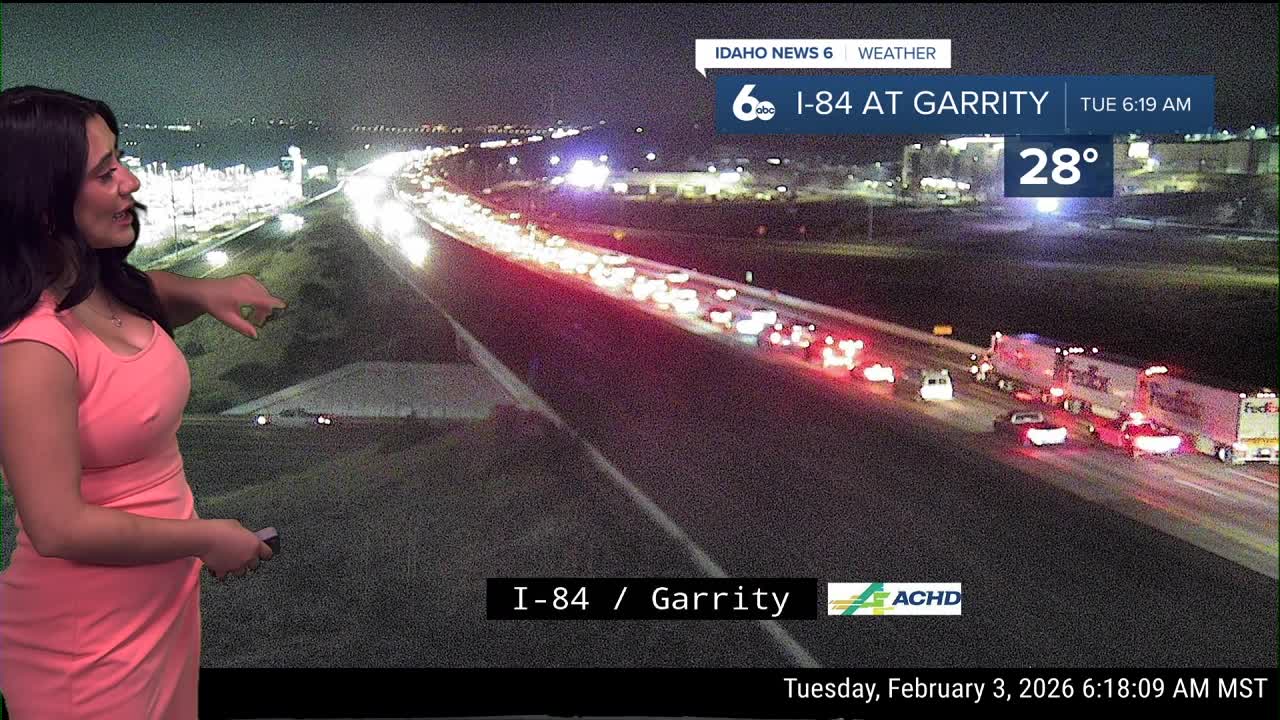
Happy Tuesday. Here's to a new month and a new day!
Expect another mild day with sunshine; highs this afternoon will reach the 50s.

A powerful ridge of high pressure will stay in control of our weather through the middle of the week, reaching its peak on Wednesday. This setup will create warm afternoons ahead. Higher elevations will experience unusually warm daytime temperatures and abundant sunshine. For those of you heading out to the McCall Winter Carnival this weekend, this means very warm afternoons ahead with 40s into Saturday. Heading home Sunday, roads will be slippery as we expect a round of rain and snow to move through Sunday into Monday.

The inversion will continue to trap colder air, moisture, and pollutants near the surface, resulting in fog, low clouds, and poor air quality. Fog and low clouds may become a little more widespread during the overnight and early morning hours over the next couple of nights, even if models don’t fully show it yet.
By Thursday, the ridge begins to weaken and shift east. Higher elevations will cool slightly, but the inversion is expected to hold on in the valleys, keeping patchy fog and stagnant air in place to close out the workweek.
Looking ahead to the weekend and early next week, we finally see signs of a pattern change (snow lovers get excited). The ridge gradually breaks down, allowing moisture to move in from the southwest. By Monday, a Pacific cold front and upper-level trough are expected to move through the region. This increases the likelihood of rain and snow, particularly in northern regions, along with stronger winds.


