

Good Morning, everyone! A new week lies ahead of us. Make it a great one.
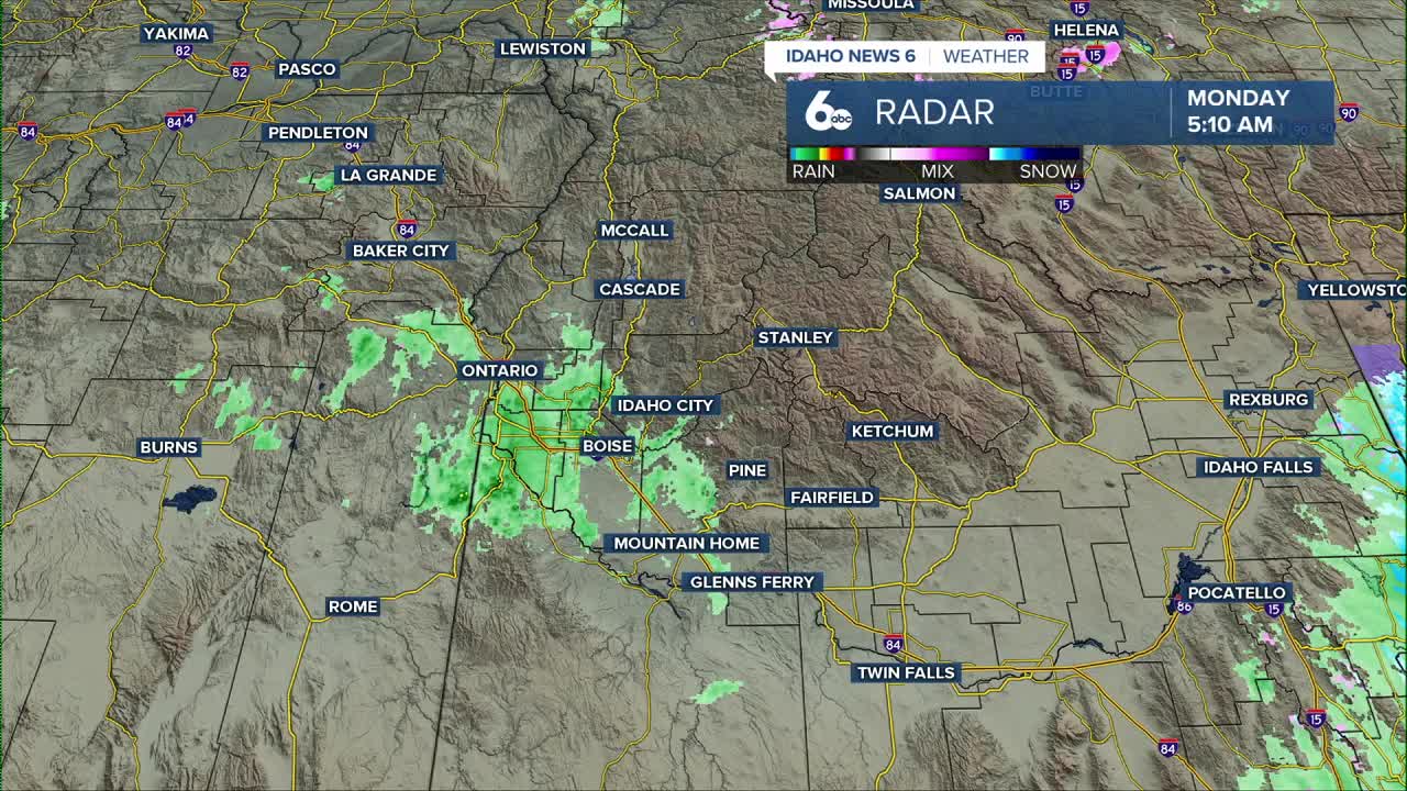
A fading band of morning showers will move out by midday, leaving the region under mostly cloudy skies. As we head through the afternoon and evening, high pressure rebuilds overhead while another cutoff low organizes off the California coast. This setup keeps our temperatures running well above average — roughly ten degrees warmer than usual today and Tuesday. Overnight into Wednesday, areas of fog are likely.
On Wednesday, a weak front brushes northern Idaho and may squeeze out a few light showers over the West Central Mountains, but most locations stay dry. Temperatures cool slightly behind the front, though highs still sit several degrees above average.
By Thursday, the ridge strengthens again as yet another system drops south along the West Coast and spins into a new cutoff low offshore. With added moisture in the lower atmosphere and limited sun, patchy fog and low stratus remain a concern for the valleys.
A more pronounced temperature inversion sets up on Friday and may hold into early next week, making the extended forecast trickier — how warm we get will largely depend on how stubborn those low clouds and fog become.
Stay up to date right here https://www.instagram.com/sophiacruzwx/
