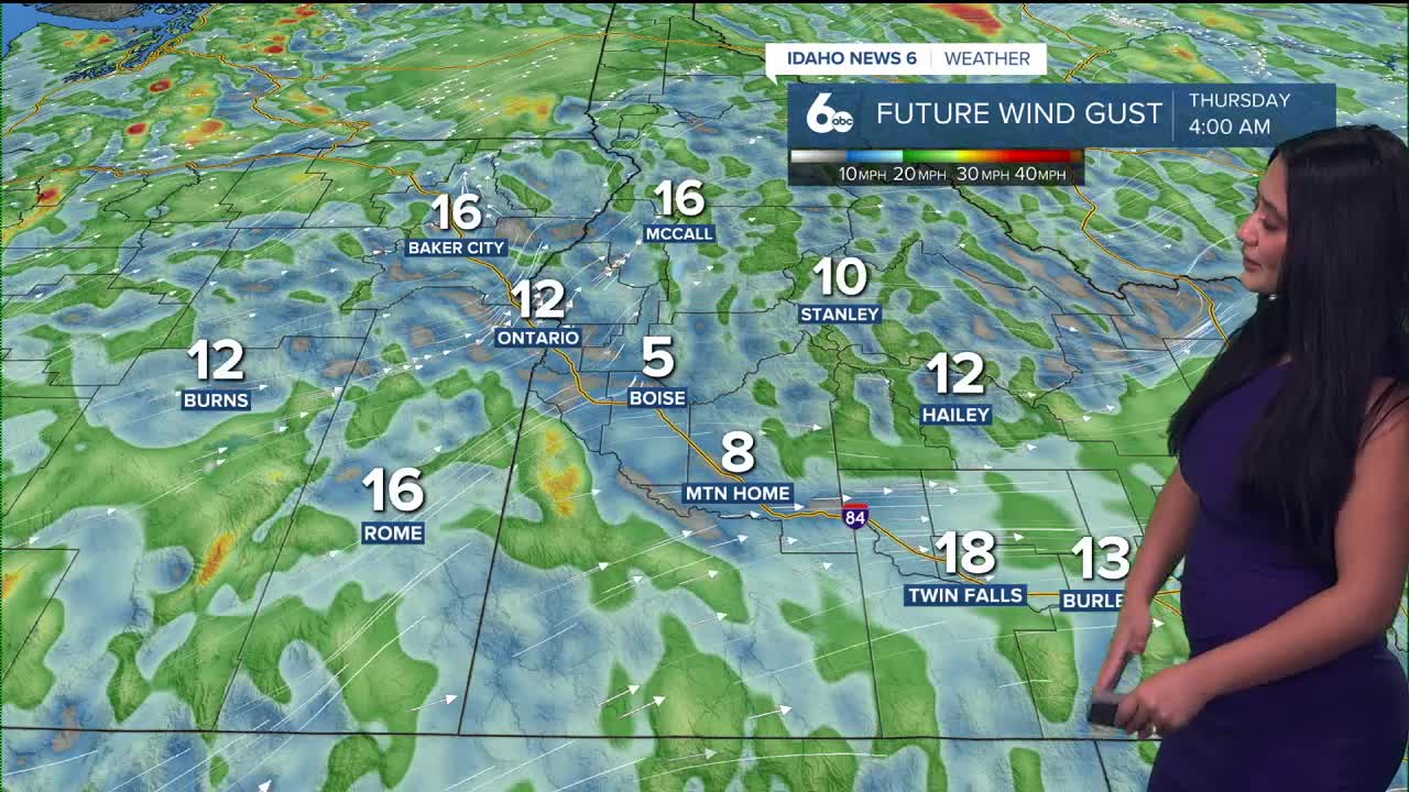


It’s a breezy and mild day across southwest Idaho and southeast Oregon as a Pacific storm system moves in. Strong southerly will gust between 35 and 50 mph, especially in southeast Oregon and through the mountain valleys.

By late afternoon, showers will begin spreading in as a cold front pushes through. Most valley spots, including the Snake Plain, will see 30–60% rain chances tonight, while the mountains have an 80–100% chance of rain and snow. Snow levels will drop from 7,000-8,000 feet down to 6,000-7,000ft by Thursday morning, keeping snow mainly at higher elevations. A few isolated thunderstorms are also possible early this evening over east-central Oregon and the west-central Idaho mountains.

After a brief break early Thursday, another quick-moving system arrives Thursday night with lighter rain and mountain snow. This one won’t pack as much moisture, but it’ll keep things unsettled through Friday before drying out late in the day.
Looking toward the weekend, a ridge of high pressure builds in Saturday, bringing cooler but dry weather. Temperatures will be near to slightly below normal Saturday, then warming up Sunday and Monday.
Stay up to date right here https://www.instagram.com/sophiacruzwx/
