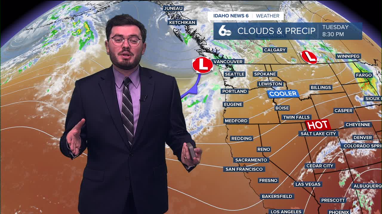


The warmest of the week moves in on Wednesday but it is short lived as temperatures take a tumble drawing closer to the weekend.
Valley floors will see 90's as the high as we hit the midweek mark. Thursday we will start to see a fall into the 80's and even further into low 80's on Friday. Expect winds to pick up as well over those two days.
August will only see the unseasonably cool for a small while. Temperatures begin their climb once again over the weekend and the work week should host more 90's for the Gem State.
Here is your extended forecast:
Tonight
Mostly clear, with a low around 62. Very light wind.
Wednesday
Sunny and hotter, with a high near 92. Light NW breeze.
Thursday
Mostly cloudy early, then gradually becoming sunny, with a high near 86. Light morning wind will become breezy later in the day with gusts over 20 mph.
Thursday Night
Mostly clear, with a low around 54. Wind NW 10-18 early, then diminishing overnight.
Friday
Sunny, breezy & unseasonably cool, with a high near 82. Wind NW 12-18 mph.
Friday Night
Mostly clear, with a low around 57.
Saturday
Sunny & continued cooler, with a high near 86.
Saturday Night
Partly cloudy, with a low around 59.
Sunday
Sunny and hot, with a high near 91.
Sunday Night
Mostly clear, with a low around 62.
Monday
Sunny and hot, with a high near 94.
Tuesday
Sunny and hot, with a high near 96.
Stay connected right here for updates to my weekend forecast!