Good Morning, Idaho!

Happy baby Friday! We’re almost to the weekend, and overall we’re heading toward a mild stretch — but first, we have some morning rain to get through.
Light showers continue early today as an upper-level trough approaches the region. This system will gradually slide inland and track south–southeast across Oregon through the morning. As it does, shower coverage will expand into southeast Oregon around 5 AM and into southwest Idaho by mid-morning, roughly 10 AM.
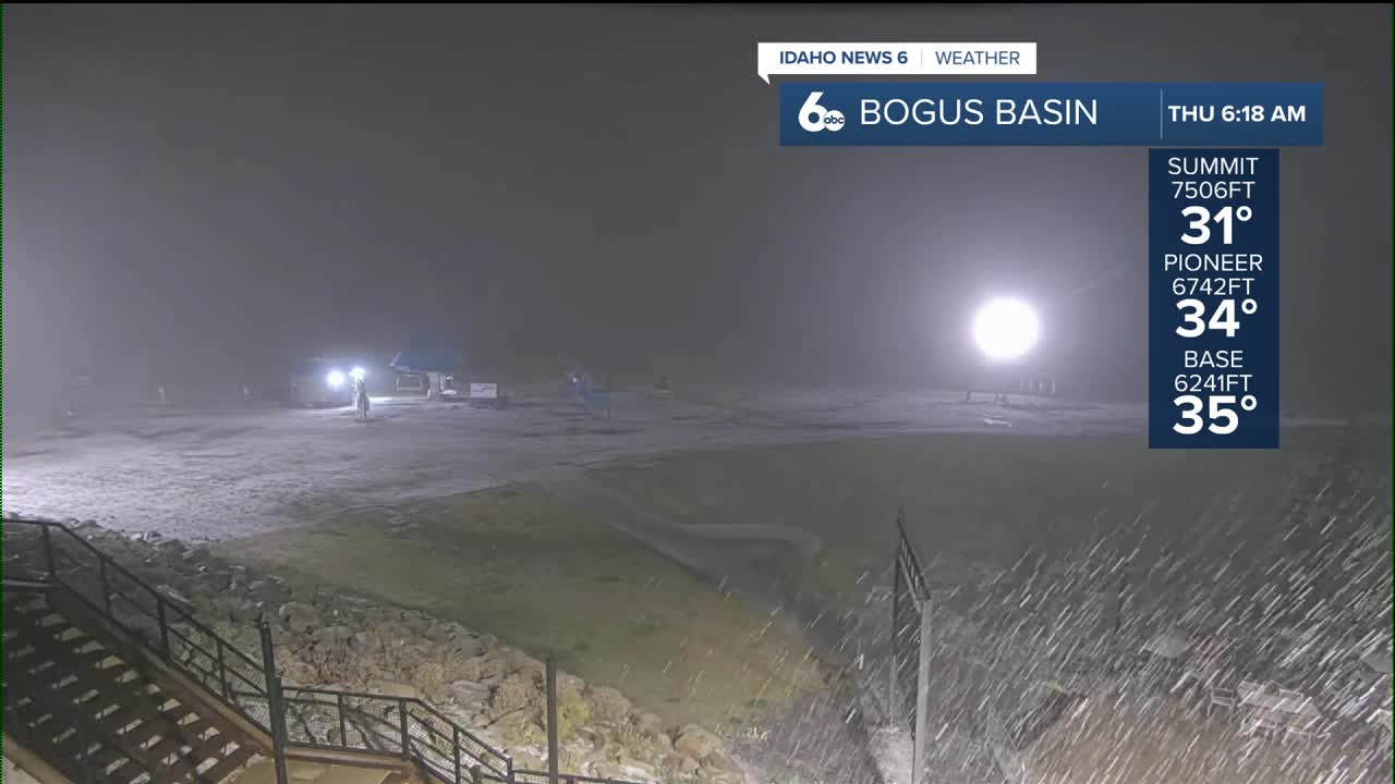
Rain amounts will stay light, with the higher terrain seeing the most — generally up to a tenth of an inch. Snow levels remain quite high, between 6000–7000 feet, so only the tallest peaks may pick up around an inch of snow.
By this afternoon, showers fade from northwest to southeast as the low center forms over western California, pulling most of the moisture away from our area. Skies will gradually dry out heading into the evening.
Looking Ahead: Friday & Saturday
A weak ridge builds overhead Friday, returning us to drier and more stable conditions. But this setup also favors valley inversions, and with plenty of low-level moisture plus light winds, we’re once again looking at stratus and fog development.
The best chance for fog or low clouds will be from the Western Magic Valley through the Upper Treasure Valley, especially Friday morning and again early Saturday. There’s still some uncertainty on how widespread this will be, but any stubborn stratus could have a big influence on temperatures.
Forecast guidance may be running a bit too warm during the day and a bit too cold at night for lower valleys — so expect some local variability depending on whether you’re stuck under the cloud deck. Above the inversion, temperatures will be 4–8 degrees warmer than normal.
Sunday-Tuesday
Sunday starts off with weak flow aloft before the pattern begins to shift. A fast-moving shortwave will brush the U.S.–Canada border late Sunday, sending a cold front southward into our region Sunday night into Monday morning.
Moisture will be limited, so any rain or snow chances will mainly be confined to northern zones and the higher elevations. Behind the front, northwesterly flow settles in, helping knock temperatures back to near normal by Tuesday. Snow levels drop to around 4000 feet, but with moisture scarce, accumulation will be minimal.
Stay up to date right here https://www.instagram.com/sophiacruzwx/?hl=en


