

A strong area of high pressure remains firmly in place over the region today, creating stagnant weather conditions and a pronounced temperature inversion. This setup is trapping cold air, low clouds, and moisture in the valleys, leading to widespread stratus and areas of fog across the Treasure Valley, Snake Plain, Baker Valley, and much of southeast Oregon.

Through today and tonight, expect mostly cloudy to overcast skies in the valleys, with patchy dense fog, especially during the late night and morning hours where the clouds interact with local terrain. A weak disturbance passing east of the area early today may increase mid-level cloud cover and could cause a few flurries in some valley locations, but no accumulation or impacts are expected. Temperatures will remain strongly inverted. Valley locations will struggle to warm, with highs hovering near or below freezing, while areas along the East and West Central mountains (5,000ft-6,000ft) remain above the inversion and enjoy mostly sunny skies with much milder temperatures in the 40s and low 50s.

Wednesday will look very similar. Valley clouds and fog will continue to dominate, keeping daytime highs cold and nighttime lows slow to cool due to cloud cover.
Thursday into Friday, slightly colder air aloft and increasing cloud cover may briefly weaken or partially break the inversion, offering a chance for some improvement in valley conditions.
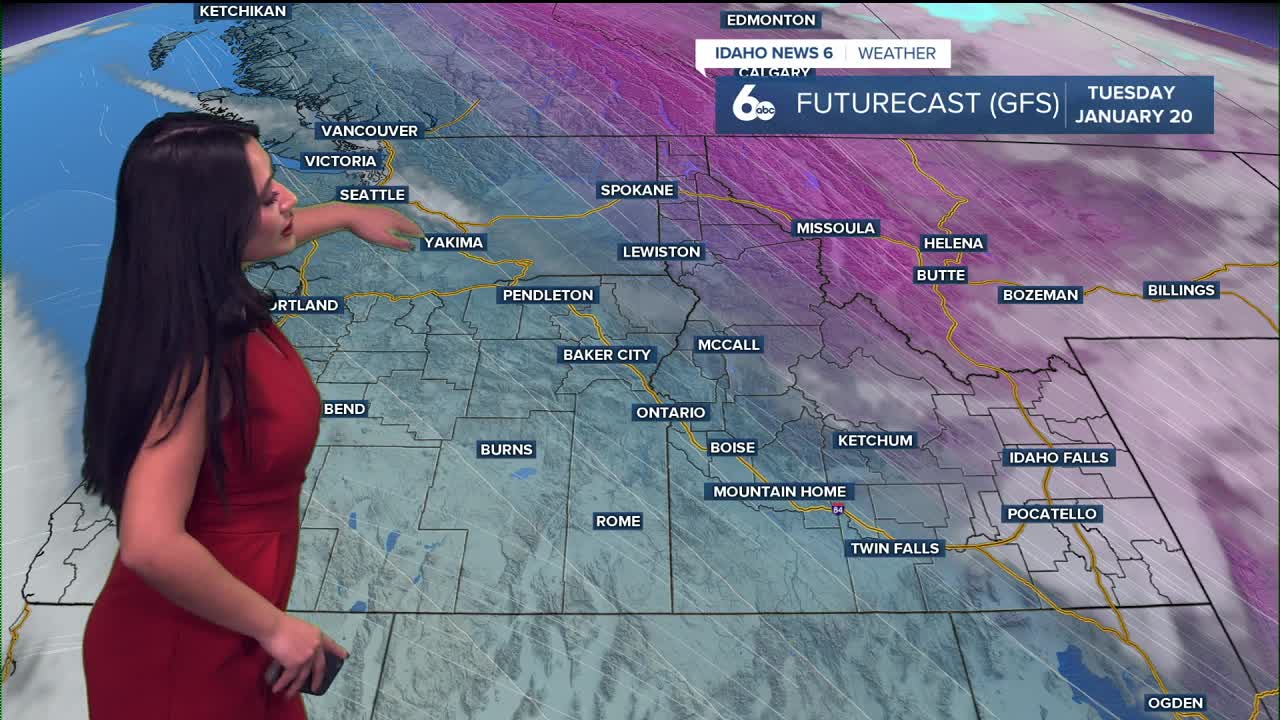
By Sunday into Monday, attention turns to a developing west-to-east flow bringing warmer and more moist air toward the region. This setup offers the next more meaningful chance for precipitation, though our area may be on the southern edge of the better moisture.
Bottom line: expect persistent valley clouds, fog, and cold temperatures through midweek, better conditions in the mountains, a possible brief break late week, and the next precipitation chance by late Sunday or Monday.
