

Good morning and happy Monday!
A new work week begins with a Freeze Watch in effect late tonight through Tuesday morning across the Treasure and Magic Valleys. Overnight lows are expected to drop below freezing, with the exception of Boise and the adjacent foothills, where developing southeasterly winds may help retain slightly warmer air. Gardeners—plan to cover any sensitive vegetation.
However, if those winds fail to establish overnight, there remains a small chance that Boise could briefly hit freezing.

As we move into midweek, a ridge of high pressure builds in, ushering in drier weather and a warming trend. Temperatures will climb above seasonal averages by Thursday and Friday.

By the weekend, a notable pattern shift arrives as a strong storm system moves in from the Pacific, drawing in moist southwest flow ahead of a cold front. Rain will develop first, with snow levels initially near 7,000 feet on Saturday before dropping to around 4,000–5,000 feet by Sunday as colder air spills in behind the front. This system has the potential to deliver the first significant mountain snowfall of the season, with up to a foot possible above 7,000 feet. How exciting!

Stay up to date right here https://www.instagram.com/sophiacruzwx/
Today
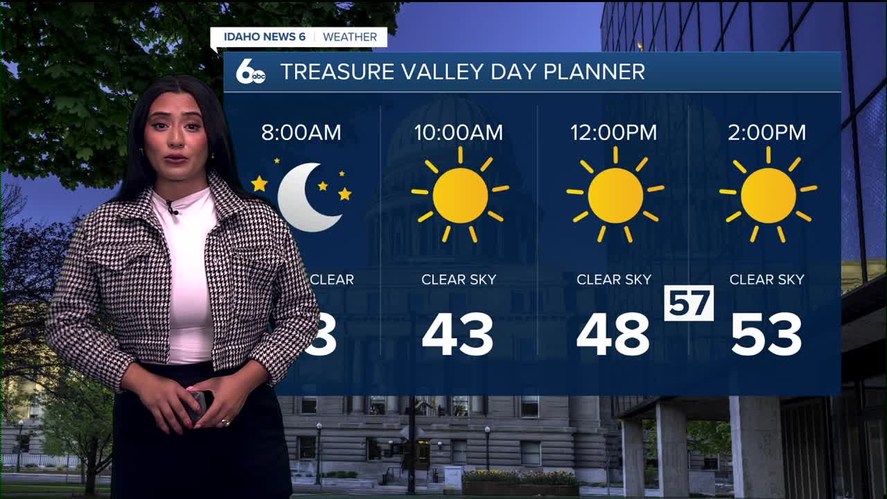
Sunny, with a high near 54. West northwest wind around 7 mph.
Tonight
Patchy frost after 3am. Otherwise, mostly clear, with a low around 34. Light and variable wind becoming east 5 to 7 mph in the evening.
Tuesday
Areas of frost before 9am. Otherwise, sunny, with a high near 60. East southeast wind around 7 mph.
Wednesday
Mostly sunny, with a high near 62. East southeast wind around 8 mph.
Thursday
Mostly sunny, with a high near 64.
Friday
Partly sunny, with a high near 68.
Friday Night
A 50% chance of showers. Mostly cloudy, with a low around 44.
Saturday
Showers likely. Mostly cloudy, with a high near 55. Chance of precipitation is 70%.
Saturday Night
Showers likely. Mostly cloudy, with a low around 39. Chance of precipitation is 60%.
Sunday
Showers likely. Mostly cloudy, with a high near 50. Chance of precipitation is 60%.