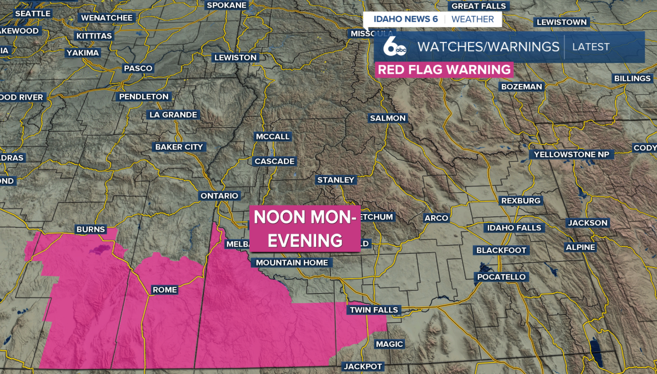
Monday kicks off a warmer stretch across southwest Idaho and southeast Oregon, but thunderstorms could bring strong winds and increased fire danger to southern portions of the region.
Storms are expected to develop around midday near Twin Falls before spreading into Owyhee County and parts of southeast Oregon during the afternoon. Most of the activity should stay south of the Snake River and wind down around sunset.
Some storms could become strong to severe, producing abundant lightning and gusty, erratic winds. Outflow gusts could reach 50 mph in some areas.
A Red Flag Warning is in effect from noon through 8 p.m. Monday for the Owyhee Mountains and Southern Highlands. Lightning could spark new fires, while strong thunderstorm winds could cause any fires that develop to spread quickly.
With dry conditions already in place, outdoor burning is not recommended Monday afternoon and evening.
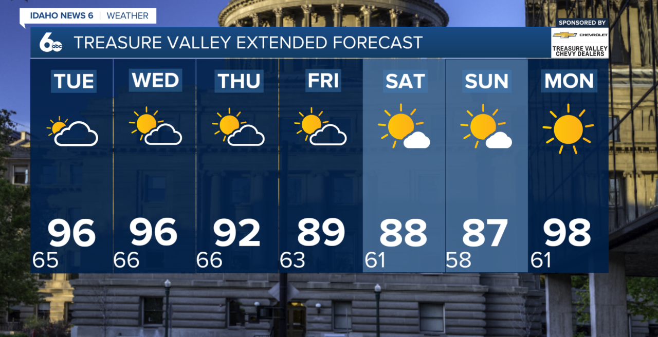
Despite increasing cloud cover, temperatures will climb about 4 to 8 degrees warmer than Sunday. The warming continues Tuesday, when highs could reach the mid to upper 90s across the Snake River Plain, with 80s and 90s elsewhere.
Most of the region dries out after Monday. There is a slight chance for thunderstorms Wednesday afternoon, mainly across the central Idaho mountains and near the Idaho-Nevada border.
The second half of the week looks generally dry and breezy. Temperatures will gradually cool after Wednesday, but highs are still expected to remain a few degrees above normal. A few afternoon storms could return near the Idaho-Nevada border heading into the weekend.