

Temperatures continue below normal, but that will change on Tuesday as we see 98° in Boise. That weather should continue for Tuesday as well.
Don't expect that to last as cooler weather arrives Wednesday and even cooler weather down into the mid-80s by Sunday.
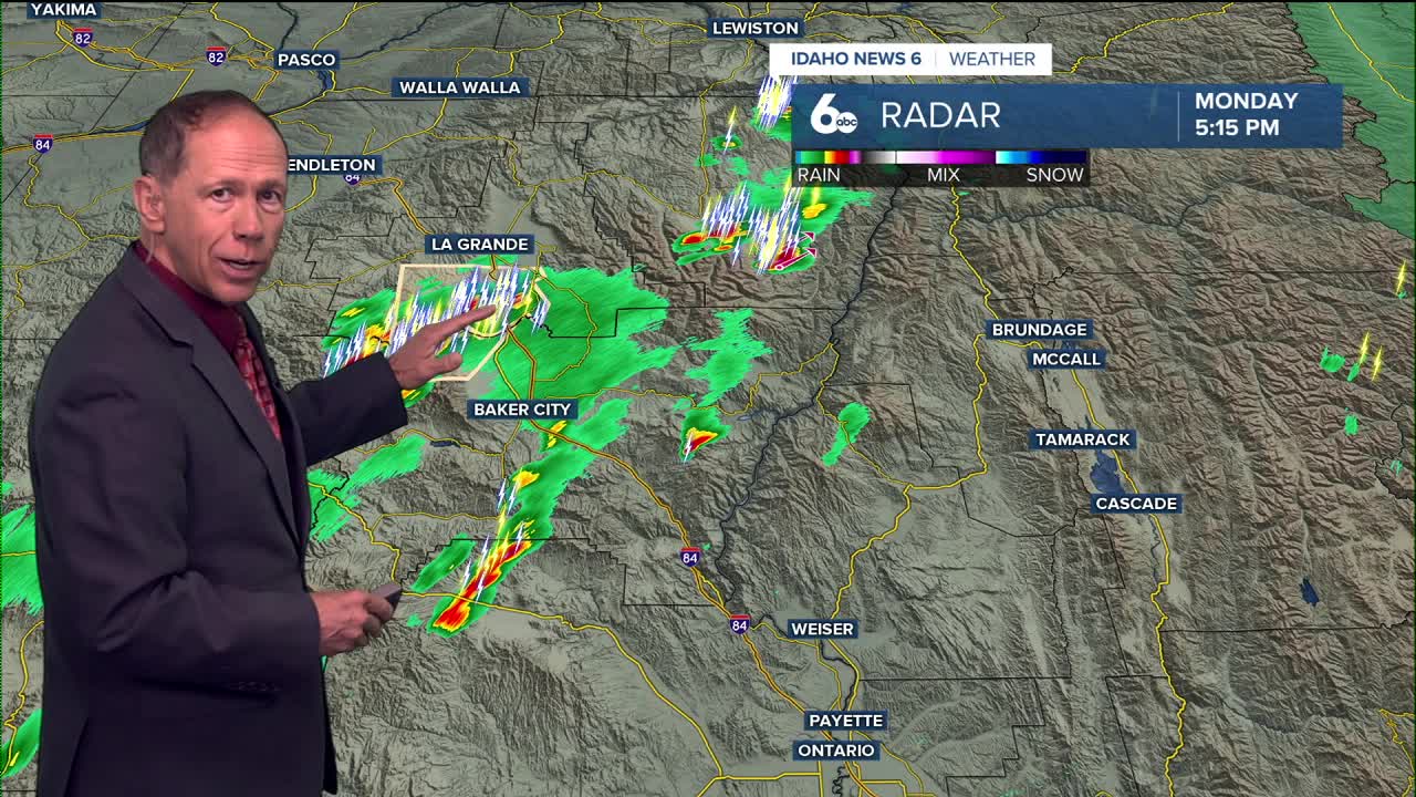
A red flag warning has been issued through thru10 pm Monday evening for Eastern Oregon due to lightning.
Tonight
Isolated showers and thunderstorms before midnight. Mostly cloudy, then gradually becoming mostly clear, with a low around 65. Locally breezy in the evening. Chance of precipitation is 20%.
Tuesday
Mostly sunny and hotter, with a high near 98. Calm wind becoming northwest 5 to 7 mph in the afternoon.
Tuesday Night
Mostly clear, with a low around 65. Light wind.
Wednesday
Sunny and continued quite hot, with a high near 98. Light wind.
Wednesday Night
Partly cloudy, with a low around 64. Locally breezy.
Thursday
A 20 percent chance of showers and thunderstorms after noon. Mostly sunny and not as hot, with a high near 93.
Thursday Night
A 20 percent chance of showers and thunderstorms before midnight. Partly cloudy, with a low around 64.
Friday
Sunny and slightly cooler, with a high near 91.
Friday Night
Partly cloudy, with a low around 62.
Saturday
Sunny and comfortably hot, with a high near 90.
Saturday Night
Partly cloudy, with a low around 61.
Sunday
Mostly sunny & cooler, with a high near 87.
Sunday Night
Partly cloudy, with a low around 59.
Monday
Sunny & comfortable, with a high near 87.
Stay connected right here for updates on my extended forecast.