

High pressure remains in place through the end of the workweek, keeping our weather quiet but stagnant. Favoring valley inversions, meaning colder air gets trapped near the surface while warmer air sits above it. As a result, temperatures won’t change much day to day, and some valleys may actually cool slightly as cold air lingers.
Fog will be the main impact, especially during the overnight and early morning hours. Forecasting fog coverage remains tricky, but there is a real potential for visibility to drop quickly near sunrise. Patchy fog is expected across the Lower Treasure Valley, with the thickest fog most likely near the Owyhee foothills and along the Snake River from Ontario to Weiser. The dense fog advisory remains in place through noon today.

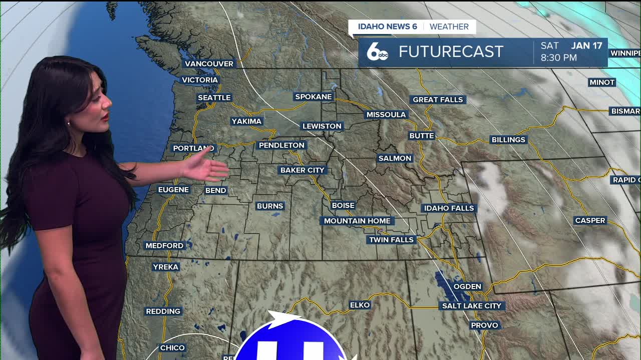
Looking ahead to the weekend and early next week, little changes. The stubborn ridge sticks around, bringing more of the same: foggy, cold valleys and warmer mid-slopes and ridgetops through at least Tuesday.
There is some hopeful news toward the middle of next week. Forecast models suggest a weak storm system could arrive, bringing breezier winds, cooler air, and possibly precipitation. If strong enough, this could help break down the inversion and clear out the fog.

Today
Sunny, with a high near 41. East southeast wind around 6 mph becoming light and variable in the afternoon.
Tonight
Partly cloudy, with a low around 25. Calm wind.
Thursday
Mostly sunny, with a high near 36. Light and variable wind.
Thursday Night
Mostly clear, with a low around 25. Light and variable wind.
Friday
Sunny, with a high near 38. South southeast wind 5 to 7 mph.
Friday Night
Mostly clear, with a low around 25.
Saturday
Sunny, with a high near 40.
Saturday Night
Mostly clear, with a low around 25.
Sunday
Sunny, with a high near 39.
Sunday Night
Mostly clear, with a low around 26.
M.L.King Day
Sunny, with a high near 40.
Monday Night
Mostly clear, with a low around 26.
Tuesday
Mostly sunny, with a high near 45.