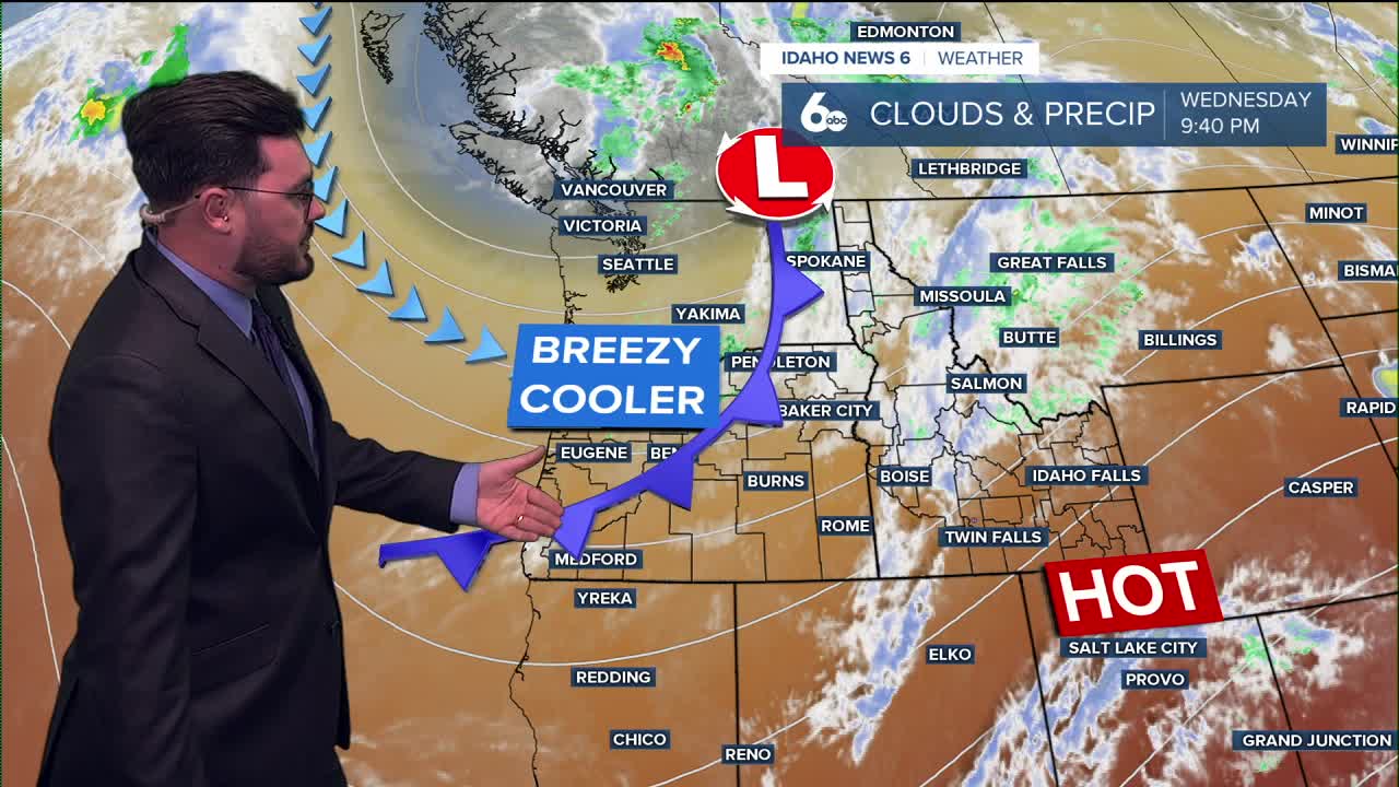


Cooler conditions ahead!
Temperatures are set to fall over the next couple of days bringing in nice conditions. Breezy weather will pair with the cool down but for how long?
Thursday and Friday will see below average temperatures across the state and winds will be apart of that. The short break from the heat won't last long though.
Temperatures climb soon after and the work week will be back into the mid 90's once again. The summer like conditions could trend towards a warm middle of the month.
Here is your extended forecast:
Thursday
Partly sunny, then gradually becoming sunny, with a high near 86. Light west wind becoming west northwest 10-15 mph in the morning. Winds could gust as high as 25 mph in the afternoon.
Thursday Night
Mostly clear, with a low around 53. Gusty breezes diminishing by midnight.
Friday
Sunny & comfortably warm with a breeze, with a high only near 83. Wind NW 10-15 mph.
Friday Night
Mostly clear, with a low around 56. Light wind.
Saturday
Sunny & warmer, with a high near 88.
Saturday Night
Partly cloudy, with a low around 59.
Sunday
Sunny and hotter, with a high near 92.
Monday
Sunny and hotter, with a high near 95.
Tuesday
Sunny and hot, with a high near 96.
Wednesday
Sunny and hot, with a high near 96.
Stay connected right here for updates my extended forecast for the weekend and check out my ScottScore Forecast on my Facebook Page