

Grab your umbrella—you’ll need it this week.
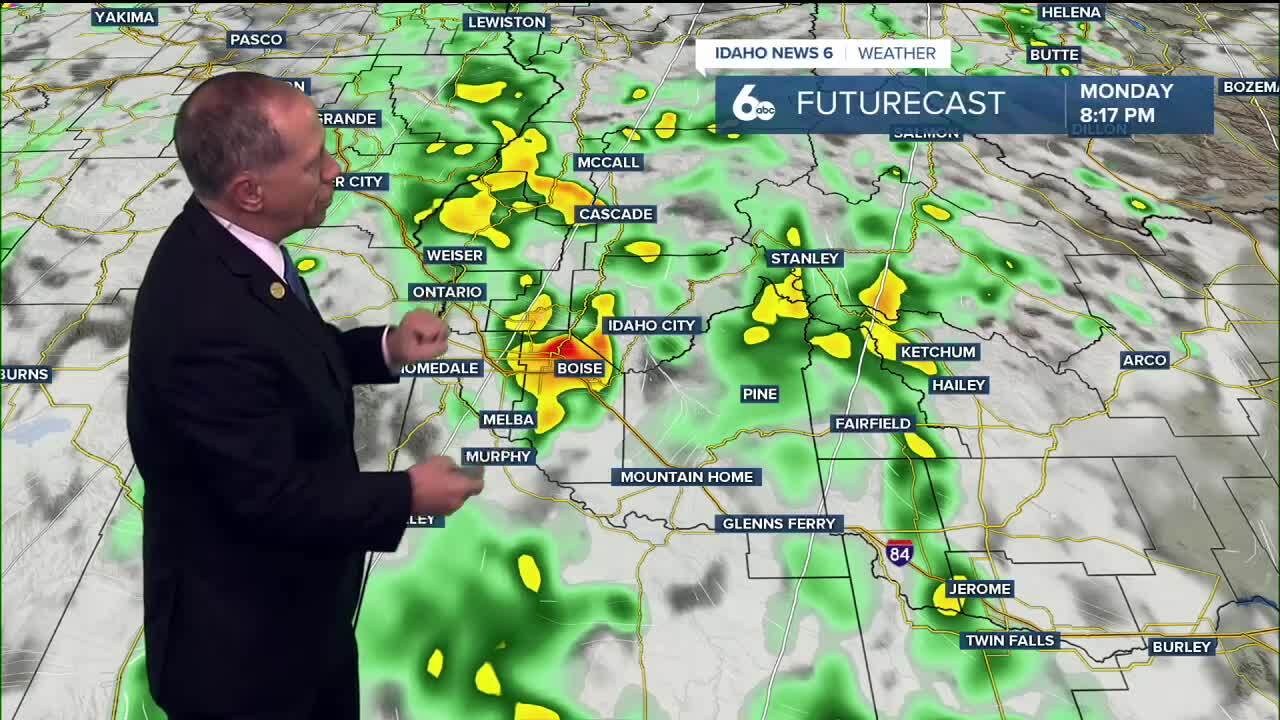
A cold front moves across the region this evening, sparking showers and storms that will become more widespread this evening. Strong wind gusts up to 35 mph and pockets of heavy rainfall are the main concerns. The Snake River Plain is looking at 0.25–0.50" of rain, while mountain locations could see up to 0.50–1.0".
By Tuesday, there is still a slight chance of isolated late-day showers and a bit of breezy along with cooler temps in the 70..
Check out my latest video forecast for showers & cooler temperatures.
Monday Night
Showers and possibly a thunderstorm. Patchy fog after midnight. Low around 56. Locally gusty wind with any storms. Chance of precipitation is 100%. New precipitation amounts between .25" and .50" possible.
Tuesday
Partly sunny with a chance of showers, with thunderstorms also possible after noon. High near 74. Southeast wind 6 to 8 mph but locally breezy. Chance of precipitation is 40%.

Wednesday
Partly sunny with a slight chance of showers, and a high near 70. Wind SE 6-12.
Thursday
Partly sunny, with a high near 68.
Friday
Sunny, with a high near 67.
Friday Night
Mostly clear, with a low around 44.

Saturday
Sunny, with a high near 65.
Saturday Night
Mostly clear, with a low around 42.
Sunday
Mostly sunny, with a high near 62.
Monday
Mostly sunny, with a high near 62.
Stay connected right here for updates to my forecast for changes this week, and check out my ScottScore Forecast on my Facebook Page.