

Good Morning, Everyone!
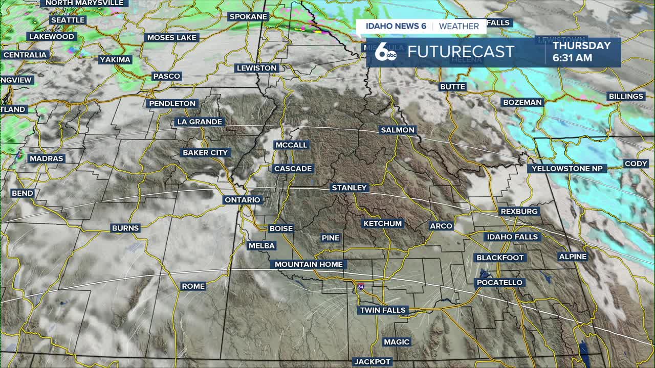
A cold front is sliding across southern Idaho this morning, bringing a quick round of showers, gusty winds, and a return to more seasonable temperatures. The front is moving west to east and should pass through the Boise area by mid-morning before reaching the Magic Valley around lunchtime.
Most of the moisture will fall in the mountains, where scattered snow showers are expected from Baker Valley into the Central Idaho ranges. Snow levels will drop throughout the day, eventually reaching around 3,000 feet tonight. Accumulations will be light, with only a couple inches possible on the highest peaks and very little reaching the valleys.
Winds will kick up behind the front, especially in the Magic Valley, where gusts may approach 40 mph this afternoon. The combination of cooler air and stronger winds will finally break down the stubborn inversion that’s been sitting over the Treasure Valley.

High pressure rebuilds on Tuesday and Wednesday, which means calmer, mostly dry weather for southwest Idaho. A few light showers may hang on in the higher terrain, but overall conditions look quiet.
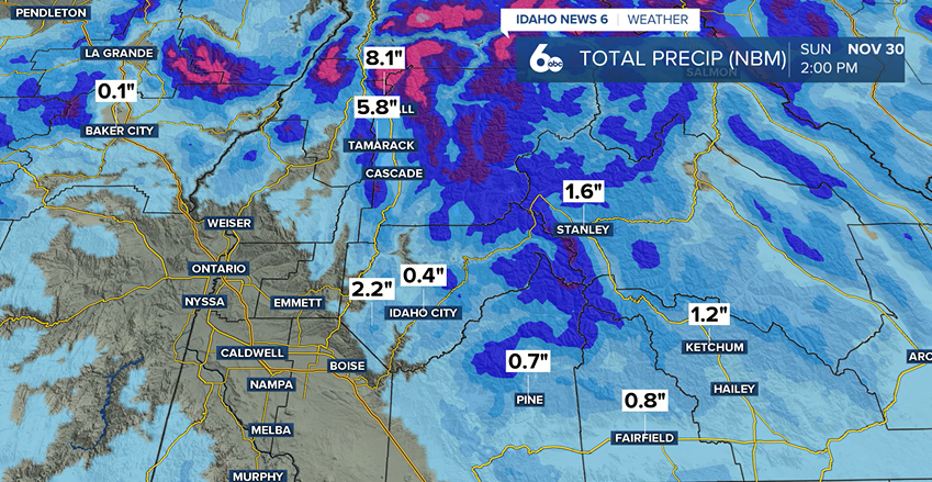
Another system arrives later in the week, bringing a chance of light rain or snow from Thursday through the weekend. Temperatures will gradually cool each day, dipping into the upper 30s by Sunday, with snow levels projected to drop near the valley floors by the end of the weekend
Stay up to date right here https://www.instagram.com/sophiacruzwx/?hl=en
