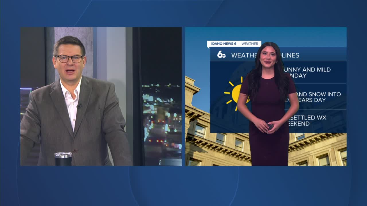


Good morning, Idaho! I hope everyone had a wonderful Christmas.
As we head toward the new year, high pressure will build overhead and persist through midweek. This will allow a temperature inversion to strengthen, leading to dry and stable conditions across the region. Daytime highs will gradually warm through Wednesday, especially in the mountains and at higher elevations above the inversion. Meanwhile, the lowest valleys — including parts of the Treasure Valley — will see little temperature change, with patchy fog and low stratus possible at times. Dry air in place should limit widespread fog, but localized visibility reductions are still something to watch during the morning hours.
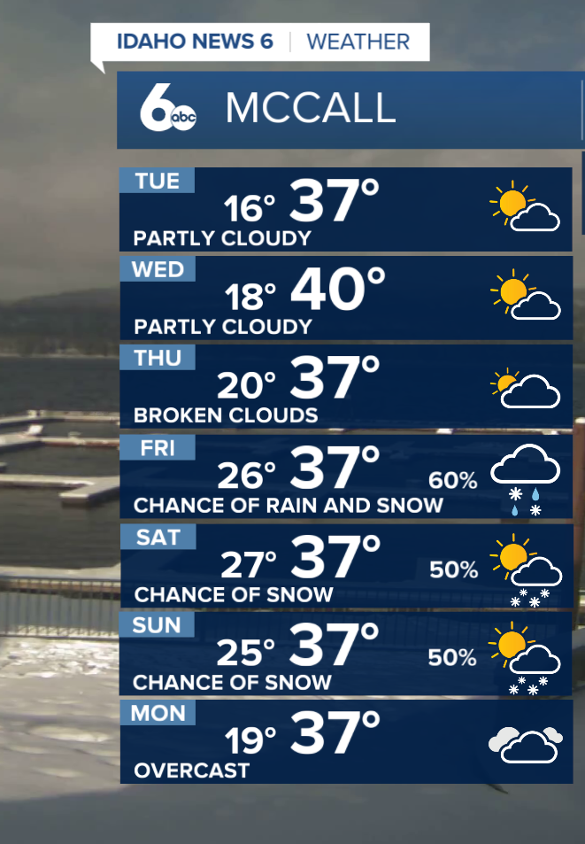

Highs by midweek will run about 5 to 10 degrees above normal for most locations, though temperatures in the Lower Treasure Valley may stay closer to seasonal averages due to the persistent inversion.
While conditions remain calm through Thursday, New Year's Day, a more active pattern begins to take shape by Thursday afternoon. Current models show moisture moving in late Thursday, with rain developing first in the valleys and snow falling at higher elevations. Because this system taps into milder, subtropical air, snow levels will initially sit around 5,000 to 6,500 feet, and could rise higher at times.
As we move into the weekend, additional disturbances will track inland, keeping an unsettled pattern in place through Sunday. These waves will bring periodic chances for valley rain and accumulating snow mainly across the higher mountain peaks. Snow levels are expected to gradually lower by Saturday, though the most significant accumulations will remain confined to higher terrain.
Overall, enjoy the quieter and drier stretch through Thursday before wetter, more changeable weather returns to ring in the new year. Highs in the Treasure Valley climb into the upper 40s, with temperatures through the extended period averaging above normal.
Stay up to date right here https://www.instagram.com/sophiacruzwx/?hl=en
