

Good morning, Idaho! Gear up for another unsettled start to the week. We've got a mix of it all, mountain snow, and valley rain.
Rain showers across south-central Idaho are moving out early this morning. The next weather system—a weakening cold front -will arrive today. While it loses strength, it will still bring widespread rain to eastern Oregon, with snow above about 5,000 feet. By late today and this evening, the system weakens further as it reaches western Idaho. However, a shower or two still isn't out of the question for the Snake Plain. Farther north, the primary storm system is stronger and will bring more rain and mountain snow, especially across northern and west-central Idaho, where upslope winds enhance precipitation. Snow levels will steadily drop overnight and into Tuesday as colder air moves in.
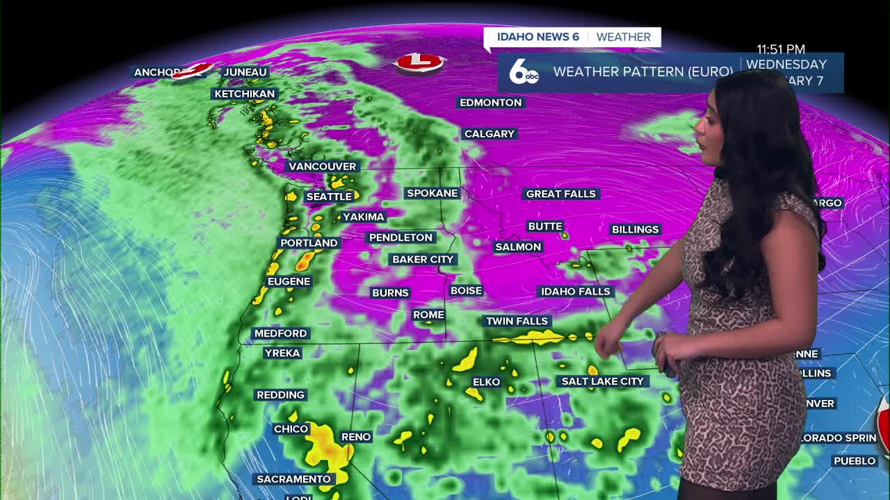
Another system arrives late Tuesday into Wednesday, tracking south from the Gulf of Alaska. This will bring another round of widespread precipitation. This system will pack a punch. A Winter Weather Advisory is in effect for the West Central Idaho Mountains late Tuesday night through Wednesday, where 5 to 9 inches of snow are expected. Gusty southwest winds up to 35 mph may cause blowing and drifting snow, making travel into the mountains difficult on Wednesday.

By early Wednesday morning, precipitation spreads into southern Idaho. The Treasure Valley will mainly see rain, with snow levels staying above 4,000 feet. The Magic Valley could see some wet snow on Wednesday morning, but roads are expected to remain mostly wet.
Wednesday night into Thursday, another colder surge from the Gulf of Alaska moves in. Moisture will be lighter, but snow levels drop to valley floors, and the Snake Basin could pick up around an inch of snow.


Long-Term Forecast
A lingering disturbance keeps conditions cool and unsettled on Thursday, with precipitation focused mainly in the mountains of eastern Oregon and west-central Idaho. Mountain areas could pick up an additional 1 to 3 inches of snow Thursday night. Skiers and snowboarders rejoice!
Lower elevations will have only a 10–20% chance of snow, with no accumulation expected due to daytime highs in the lower 40s.
By Friday, high pressure builds, bringing drier, colder weather through the weekend. Northwest flow continues, keeping valley highs steady in the lower 40s through early next week.
