Good Morning Idaho!
A more active weather pattern begins across the region today, bringing everything from wildfire concerns to heavy rain and a noticeable cooldown through Saturday.
Dry thunderstorms raise fire concerns Thursday
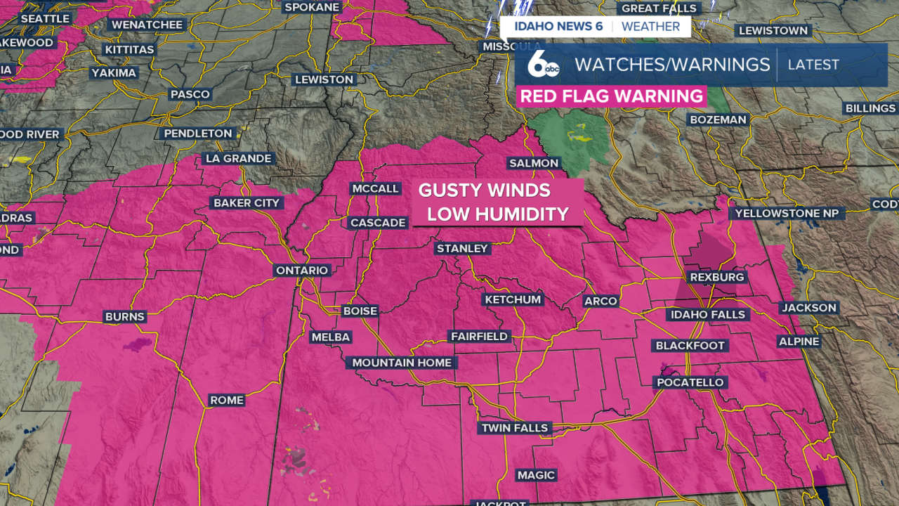
Scattered showers and thunderstorms are expected to develop this afternoon and continue into Friday morning. At first, the atmosphere near the ground will still be relatively dry, meaning some storms may produce more lightning and gusty winds than meaningful rainfall.
That combination could create problems for wildfire conditions. Lightning could spark new fires, while thunderstorm wind gusts of 40 to 45 mph could cause existing fires to spread quickly.
Due to this, a red flag warning is in effect through Friday morning across southern Idaho; avoid outdoor burning during this time. Any fires that do start could grow large and spread rapidly.
Heavy rain becomes the concern Friday
By Friday, much more moisture will be available in the atmosphere. Instead of primarily dry thunderstorms, storms will become more capable of producing heavy rainfall. Friday’s rainfall outlook places the region under a marginal risk, which is the lowest level on the scale but still means isolated flooding is possible, especially in areas that receive heavier downpours.
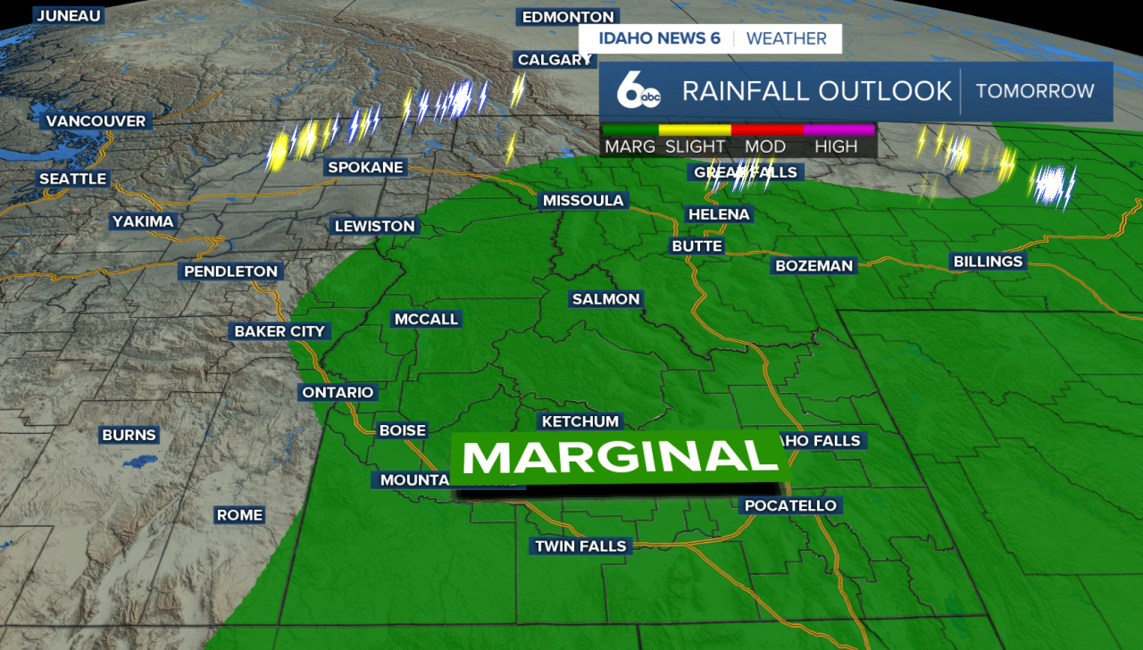
That shifts the biggest concern from fire weather to flash flooding and debris flows. Steep and rocky terrain will be especially vulnerable, along with recent burn scars, including the Wapiti burn scar.
Rain chances will be highest across the Central Idaho Mountains, where the chance for precipitation ranges from 60% to 95%. Scattered thunderstorms will remain possible elsewhere across the region.
Unsettled weather sticks around Saturday
Plenty of moisture remains in place Saturday, keeping showers and thunderstorms in the forecast. Some storms could once again produce heavy downpours, continuing the risk for flooding around recent burn scars and other flood-prone areas.
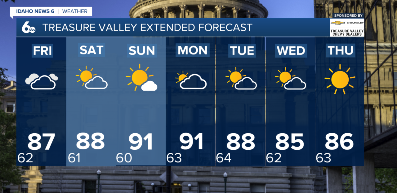
The change in weather will also bring cooler temperatures. By Friday, highs are expected to fall to around five degrees below normal.
Drier weather returns Sunday
Conditions begin to settle down Sunday as high pressure builds back into the region. Temperatures return closer to normal, with generally dry weather expected through Monday. A few isolated showers or thunderstorms could still develop over the Central Idaho Mountains.
Another system could bring breezy winds and a small chance for precipitation Tuesday before warmer and drier weather potentially returns later next week.