

Our incredible weather pattern continues here in Idaho. Skies stay clear and temperatures above normal, so when will we get any Winter like conditions?
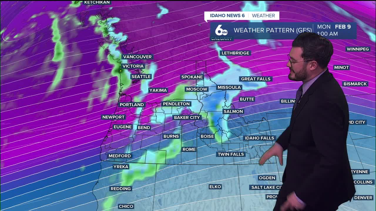
It won't happen Friday or this weekend with some of the warmest temperatures of the season on the way. Highs expected to break 60° on Sunday. Very soon after, a cold front is moving in and unsettled weather could bring showers and snow for those mountain ranges.
Idaho on its valley floors go from 50's into the upper 40's so not much of a drop but more of a normal temperature range for us in February. Mid month does look to get cooler and potentially wetter so we will keep our eyes on later into Feburary for changes.
Until then, enjoy the great weather. Get outside and have a great weekend ahead!