

Good Friday Morning! Get ready to grab the umbrellas this weekend.
Today will be the last mild and dry day before a strong system out of the Gulf of Alaska pushes into the region this weekend. A cold front will arrive Saturday, bringing widespread precipitation, gusty winds, and much cooler temperatures. The heaviest moisture will fall north of the Snake Basin, where 1 to 2 inches of total liquid precipitation is expected — translating to several inches of snow at higher elevations. Elsewhere, amounts will range from about a third to two-thirds of an inch, with locally higher totals in the mountains.

Winds will be strongest Saturday afternoon and evening across southeast Oregon and the Owyhee Mountains, where gusts may reach 50 mph, prompting Wind Advisories in parts of Harney and Malheur Counties.

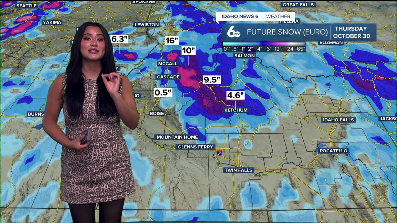
Snow levels will start near 6,500 feet on Saturday but drop behind the cold front to around 4,000–5,000 feet by Sunday. That will lead to 4–12 inches of mountain snow, including about 3–4 inches in McCall.

Temperatures will tumble through the weekend — from highs in the 60s and 70s today to 40s and 50s by Sunday. Showers may linger into early next week before drier, more seasonable weather returns just in time for Halloween.
Travel impacts this weekend
The dropping snow levels will create challenging travel conditions for anyone heading above 4,000 feet this weekend. Mountain passes and higher-elevation roadways will likely experience winter driving conditions beginning Saturday night, with accumulating snow above 5,000 feet continuing through Monday. Drivers should prepare for slick roads, low visibility, and rapidly changing conditions. Winds will be strongest Saturday afternoon and evening across southeast Oregon and the Owyhee Mountains, where gusts may reach 50 mph. Combined with falling snow and colder air, travel could become hazardous through Sunday.
Stay up to date right here https://www.instagram.com/sophiacruzwx/
